|
search place name
|
||
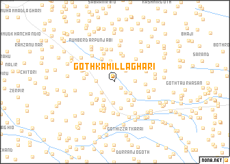
Goth Kāmil Laghāri (Sind, Pakistan)Goth Kāmil Laghāri is a town in the Sind region of Pakistan. An overview map of the region around Goth Kāmil Laghāri is displayed below.
regional and 3d topo map of Goth Kāmil Laghāri, Pakistan ::
Goth Kāmil Laghāri airports ::
The nearest airport is WNS - Nawabshah, located 35.0 km north west of Goth Kāmil Laghāri.
Other airports nearby include BDN - Talhar (127.4 km south), MJD - Moenjodaro (158.0 km north), KHI - Karachi Jinnah Intl (187.4 km south west), SKZ - Sukkur (194.7 km north), Nearby towns ::
Goth Ahmad Baghio (1.2km south east) //
Goth Fazal Khaskheli (2.2km north) //
Allu Jo Goth (2.3km south east) //
Goth Hayāt Kario (2.4km north east) //
Goth Kandi (2.6km north) //
Goth Siddīq Shoro (2.6km south west) //
Goth Allāh Bakhsh (2.9km south east) //
Goth Baqa Dāhri (2.8km west) //
Miānji Masjid (3.2km north) //
Mughalpura (2.9km east) //
Goth Bahādur Kaloi (3.4km south) //
Goth Sammar Faqīr (3.4km south west) //
Marūf Dāhri (3.5km north) //
Goth Wadero Ak (3.5km south east) //
Goth Dosu Lākho (3.8km south west) //
Kandi (4.0km north west) //
Goth Umar Lākho (4.0km south west) //
Nazīr Muhammad Kallal (4.0km south east) //
Ibrāhīm Jakhro (4.2km north west) //
Goth Muhammad Bachal Karie (4.3km south west) //
Shāhdādpur (4.4km south) //
Goth Muhammad Brāhui (4.1km south west) //
Khamīso Brāhui (4.5km north) //
Goth Ghulām Shāh Bodāni (4.5km south east) //
Goth Dost Muhammad (4.6km south) //
Ali Muhammad Brāhui (4.7km north) //
Rānjho Bāgrāni (4.3km west) //
Abdul Hakīm Brāhui (4.9km north) //
Goth Siddīq Sehto (4.5km east) //
[all distances 'as the bird flies' and approximate]  Places with similar names to Goth Kāmil Laghāri, Pakistan ::
// Goth Kamāl Laghāri (PK)
Disclaimer :: Information on this page comes without warranty of any kind |
||
|
Where is Goth Kāmil Laghāri? Elevation and coordinates ::
Latitude (lat): 25°58'20"N Longitude (lon): 68°36'30"E
Elevation (approx.): 26m (map arrows pan, magnifying glasses zoom) |
||
|
Visiting Goth Kāmil Laghāri? Hotel/Accommodation ::
Book a hotel in Goth Kāmil Laghāri Travel Guide ::
Buy a travel guide for Pakistan rental cars ::
car rental offers GPS waypoint ::
download a GPX waypoint (PoI) of Goth Kāmil Laghāri for your GPS receiver
|
||