|
search place name
|
||
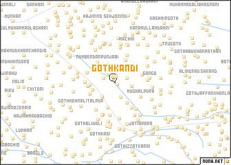
Goth Kandi (Sind, Pakistan)Goth Kandi is a town in the Sind region of Pakistan. An overview map of the region around Goth Kandi is displayed below.
regional and 3d topo map of Goth Kandi, Pakistan ::
Goth Kandi airports ::
The nearest airport is WNS - Nawabshah, located 32.6 km north west of Goth Kandi.
Other airports nearby include BDN - Talhar (130.0 km south), MJD - Moenjodaro (155.4 km north), KHI - Karachi Jinnah Intl (188.4 km south west), SKZ - Sukkur (192.4 km north), Nearby towns ::
Goth Fazal Khaskheli (0.4km south east) //
Marūf Dāhri (0.9km north) //
Ibrāhīm Jakhro (1.7km north west) //
Kandi (1.8km west) //
Miānji Masjid (1.8km east) //
Abdul Hakīm Brāhui (2.3km north) //
Goth Kāmil Laghāri (2.6km south) //
Goth Hayāt Kario (2.4km east) //
Ghāzi Lishāri (2.8km north) //
Hāji Dhani Bakhsh Chutto (2.8km north) //
Khamīso Brāhui (2.7km north east) //
Ali Muhammad Brāhui (2.7km north east) //
Goth Baqa Dāhri (3.0km south west) //
Muhammad Umar Chutto (3.1km north) //
Kore Khān Lishāri (3.1km north west) //
Goth Ahmad Baghio (3.8km south east) //
Rānjho Bāgrāni (3.6km west) //
Nūr Muhammād Chutto (3.9km north east) //
Hāji Jān Muhammad Brāhui (3.8km north west) //
Goth Rānjho Bāgrāni (3.8km west) //
Goth Siddīq Shoro (4.3km south) //
Numberdār Punjābi (4.2km north west) //
Mehrāb Shāh (4.1km east) //
Goth Muhammad Hassan Bāgrāni (4.1km west) //
Goth Bolo (4.2km south west) //
Sumer (4.6km north) //
Mughalpura (4.4km south east) //
Māko Brāhui (4.4km west) //
Allu Jo Goth (4.8km south east) //
[all distances 'as the bird flies' and approximate] 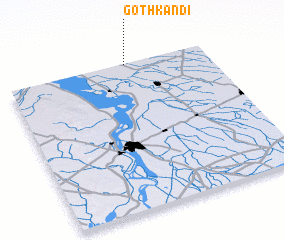 Places with similar names to Goth Kandi, Pakistan ::
// Goth Gondi (PK)
// Goth Kand (PK)
// Goth Kandi (PK)
// Goth Kando (PK)
// Goth Kandu (PK)
// Goth Kund (PK)
Disclaimer :: Information on this page comes without warranty of any kind |
||
|
Where is Goth Kandi? Elevation and coordinates ::
Latitude (lat): 25°59'40"N Longitude (lon): 68°36'0"E
Elevation (approx.): 24m (map arrows pan, magnifying glasses zoom) |
||
|
Visiting Goth Kandi? Hotel/Accommodation ::
Book a hotel in Goth Kandi Travel Guide ::
Buy a travel guide for Pakistan rental cars ::
car rental offers GPS waypoint ::
download a GPX waypoint (PoI) of Goth Kandi for your GPS receiver
|
||