|
search place name
|
||
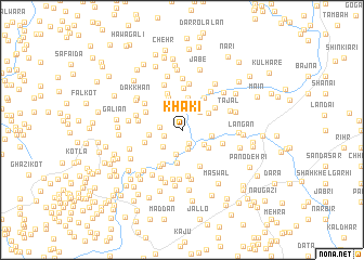
Khāki (North-West Frontier, Pakistan)Khāki is a town in the North-West Frontier region of Pakistan. An overview map of the region around Khāki is displayed below.
regional and 3d topo map of Khāki, Pakistan ::
Khāki airports ::
The nearest airport is MFG - Muzaffarabad, located 35.2 km east of Khāki.
Other airports nearby include SDT - Saidu Sharif (85.0 km north west), RAZ - Rawala Kot Rawalakot (86.5 km south east), ISB - Islamabad Chaklala (86.9 km south), PEW - Peshawar Intl (155.9 km west), Nearby towns ::
Māri Safdar Shāh (1.5km south east) //
Hāri Maira (1.6km west) //
Misar (2.1km south) //
Sirori (2.2km north) //
Lihāl (1.9km west) //
Kheriān (2.5km south) //
Sherpur (2.4km north east) //
Sikandara (2.5km north west) //
Jang (2.4km south west) //
Māri Muqarrab Shāh (2.5km south east) //
Bhair Kund Utla (2.6km east) //
Tarha Tarla (2.9km north east) //
Khwājgān (3.3km north) //
Māri Shāhwāli (2.9km south east) //
Nilaur (2.8km west) //
Bāndi Mīra (3.4km south) //
Landai (3.4km north) //
Malakpur (3.8km north east) //
Bhatiān (3.9km north) //
Jabian (3.4km west) //
Mālkāni (3.9km south west) //
Tarha Utla (3.6km north east) //
Timar Khola (4.0km south) //
Susal (3.6km north west) //
Murādpur (4.3km north) //
Khiliān Haria (4.2km south west) //
Hainshirān (3.7km east) //
Fithi (3.8km west) //
Jhāmra (4.2km north west) //
[all distances 'as the bird flies' and approximate] 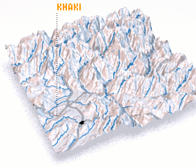 Places with similar names to Khāki, Pakistan ::
Disclaimer :: Information on this page comes without warranty of any kind |
||
|
Where is Khāki? Elevation and coordinates ::
Latitude (lat): 34°24'0"N Longitude (lon): 73°8'0"E
Elevation (approx.): 839m (map arrows pan, magnifying glasses zoom) |
||
|
Visiting Khāki? Hotel/Accommodation ::
Book a hotel in Khāki Travel Guide ::
Buy a travel guide for Pakistan rental cars ::
car rental offers GPS waypoint ::
download a GPX waypoint (PoI) of Khāki for your GPS receiver
|
||