|
search place name
|
||
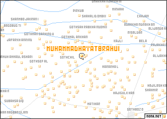
Muhammad Hayāt Brāhui (Sind, Pakistan)Muhammad Hayāt Brāhui is a town in the Sind region of Pakistan. An overview map of the region around Muhammad Hayāt Brāhui is displayed below.
regional and 3d topo map of Muhammad Hayāt Brāhui, Pakistan ::
Muhammad Hayāt Brāhui airports ::
The nearest airport is SUL - Sui, located 33.1 km north of Muhammad Hayāt Brāhui.
Other airports nearby include SKZ - Sukkur (76.3 km south west), RYK - Rahim Yar Khan Sheikh Zayed (116.2 km east), MJD - Moenjodaro (146.9 km south west), JSA - Jaisalmer (238.7 km south east), Nearby towns ::
Ellāhi Bakhsh (0.4km north west) //
Muhammad Jabbār Khosa (0.7km north east) //
Rājo Gola (1.1km north east) //
Arbāb Khān (1.5km south east) //
Goth Kamāl Khān (1.7km west) //
Sevo Khān (1.8km south west) //
Sher Dil (2.3km south) //
Goth Totapur (2.6km north east) //
Muhammad Hayāt Bugti (2.7km south west) //
Behrām Khān (2.8km south) //
Yaqūb Khān (3.0km south west) //
Raza Muhammad (3.1km south east) //
Yār Muhammad (3.0km south west) //
Gul Muhammad Jakrāni (3.2km south west) //
Goth Chīl (3.1km west) //
Amīr Bakhsh Isāl (3.4km south east) //
Goth Maula Bakhsh Brāhui (3.5km north east) //
Goth Habībullāh (3.7km north) //
Goth Salim Khān Khosa (3.8km north east) //
Farayo (3.7km south west) //
Goth Mīr Hazār (3.5km east) //
Goth Lāl Muhammad Raheja Bugti (4.2km north) //
Goth Malan Khān (4.3km north) //
Muhammad Azim Khosa (4.3km south east) //
Goth Allāh Bakhsh Khosa (4.5km north) //
Goth Mehar Māri (4.3km west) //
Raza Muhammad Khosa (4.6km south west) //
Goth Lunda (4.5km north east) //
Chāchar (4.8km south) //
[all distances 'as the bird flies' and approximate] 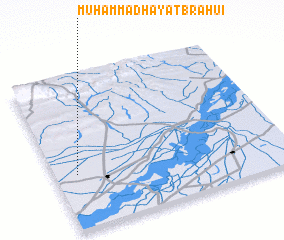 Places with similar names to Muhammad Hayāt Brāhui, Pakistan :: Disclaimer :: Information on this page comes without warranty of any kind |
||
|
Where is Muhammad Hayāt Brāhui? Elevation and coordinates ::
Latitude (lat): 28°21'20"N Longitude (lon): 69°5'40"E
Elevation (approx.): 65m (map arrows pan, magnifying glasses zoom) |
||
|
Visiting Muhammad Hayāt Brāhui? Hotel/Accommodation ::
Book a hotel in Muhammad Hayāt Brāhui Travel Guide ::
Buy a travel guide for Pakistan rental cars ::
car rental offers GPS waypoint ::
download a GPX waypoint (PoI) of Muhammad Hayāt Brāhui for your GPS receiver
|
||