|
search place name
|
||
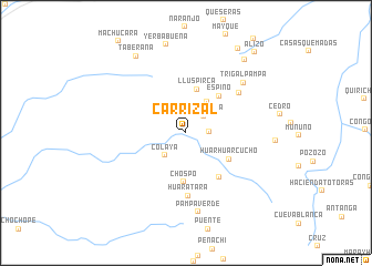
Carrizal (Lambayeque, Peru)Carrizal is a town in the Lambayeque region of Peru. An overview map of the region around Carrizal is displayed below.
regional and 3d topo map of Carrizal, Peru ::
Carrizal airports ::
The nearest airport is CIX - Chiclayo Capt Jose A Quinones Gonzales Intl, located 88.0 km south west of Carrizal.
Other airports nearby include PIU - Piura Capitan Fap Guillermo Concha Iberico (156.0 km north west), CHH - Chachapoyas (182.4 km east), TYL - Talara Capitan Montes (254.8 km north west), Nearby towns ::
El Naranjo (2.3km east) //
Santa Rosa (2.5km north east) //
Colaya (3.1km south west) //
Laguna (3.8km north east) //
Lluspirca (4.5km north) //
Chospo (4.9km south) //
Espino (5.0km north east) //
Huarhuarcucho (5.1km south east) //
Corral de Piedra (5.5km south east) //
Huaratara (6.3km south) //
Potrerio (6.6km north east) //
Trigal Pampa (7.7km north east) //
Pampa Verde (8.1km south) //
Taberana (9.2km north west) //
La Divina (9.4km north east) //
Coyonayacu (9.9km north east) //
Alizo (10.6km north east) //
[all distances 'as the bird flies' and approximate] 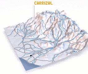 Places with similar names to Carrizal, Peru ::
Disclaimer :: Information on this page comes without warranty of any kind |
||
|
Where is Carrizal? Elevation and coordinates ::
Latitude (lat): 6°3'47"S Longitude (lon): 79°29'53"W
Elevation (approx.): 1072m (map arrows pan, magnifying glasses zoom) |
||
|
Visiting Carrizal? Hotel/Accommodation ::
Book a hotel in Carrizal Travel Guide ::
Buy a travel guide for Peru rental cars ::
car rental offers GPS waypoint ::
download a GPX waypoint (PoI) of Carrizal for your GPS receiver
|
||