|
search place name
|
||
Agua Santa (Sucre, Venezuela)Agua Santa is a town in the Sucre region of Venezuela. An overview map of the region around Agua Santa is displayed below.
regional and 3d topo map of Agua Santa, Venezuela ::

Agua Santa airports ::
The nearest airport is CUP - Carupano General Jose Francisco Bermudez, located 35.6 km north east of Agua Santa.
Other airports nearby include CUM - Cumana Antonio Jose De Sucre (65.4 km west), PMV - Porlamar Del Caribe Intl Gen Santiago Marino (67.1 km north west), MUN - Maturin (91.4 km south east), BLA - Barcelona General Jose Antonio Anzoategui Intl (133.3 km west), Nearby towns ::
La Acequia (0.8km north west) //
Quebrada de Tigre (1.8km east) //
Majagual (1.9km south west) //
El Cordón (2.3km south west) //
San Joaquín (2.5km west) //
Carrizal de La Cruz (2.5km north east) //
Cariaco (2.6km north west) //
Quebrada de Tigre Adentro (2.6km east) //
Campo Alegre (2.8km north west) //
Sabaneta (3.7km west) //
Tropezón (4.7km north west) //
Alto de La Cruz (5.3km south east) //
El Cerezal de Cariaco (5.3km west) //
El Yacal (5.4km west) //
San Pedro (5.5km south) //
Camarón (5.5km south west) //
Queremene (6.1km north west) //
Los Pozos Adentro (6.5km south east) //
Las Violetas (6.8km west) //
Chamariapa Afuera (7.1km north) //
Chiguana (7.3km north) //
Sampayo (7.6km north) //
Saca Manteca (7.6km south east) //
Píritu (7.8km south west) //
Garrapata (7.9km south) //
Boca del Caño (7.7km west) //
Caratal (8.2km south west) //
La Cocuiza (8.5km south) //
La Funcia (8.4km south east) //
[all distances 'as the bird flies' and approximate] 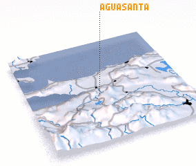 Places with similar names to Agua Santa, Venezuela ::
// Aquasanta (IT)
// Agua Santa (CU)
// Agua Santa (SV)
// Agua Santa (PE)
// Agua Santa (PE)
// Agua Santa (PE)
// Agua Santa (PE)
// Agua Santa (VE)
// Agua Santa (VE)
// Agua Santa (VE)
Disclaimer :: Information on this page comes without warranty of any kind |
||
|
Where is Agua Santa? Elevation and coordinates ::
Latitude (lat): 10°29'4"N Longitude (lon): 63°32'2"W
Elevation (approx.): 91m (map arrows pan, magnifying glasses zoom) |
||
|
Visiting Agua Santa? Hotel/Accommodation ::
Book a hotel in Agua Santa Travel Guide ::
Buy a travel guide for Venezuela rental cars ::
car rental offers GPS waypoint ::
download a GPX waypoint (PoI) of Agua Santa for your GPS receiver
|
||