|
search place name
|
||
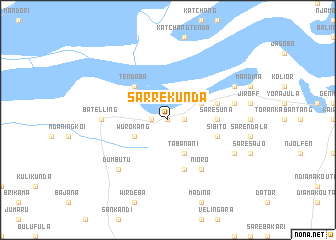
Sarre Kunda (Gambia, The)Sarre Kunda is a town in Gambia, The. An overview map of the region around Sarre Kunda is displayed below.
regional and 3d topo map of Sarre Kunda, Gambia, The ::
Sarre Kunda airports ::
The nearest airport is KLC - Kaolack, located 87.6 km north of Sarre Kunda.
Other airports nearby include BJL - Banjul Intl (94.4 km west), ZIG - Ziguinchor (107.9 km south west), CSK - Cap Skiring (151.4 km south west), BXO - Bissau Oswaldo Vieira Intl (167.1 km south), Nearby towns ::
Bumari (0.0km north) //
Bambako (1.8km east) //
Kwinella (1.8km west) //
Tabanani (4.1km south east) //
Nema (4.1km north east) //
Wurokang (4.1km south west) //
Tendaba (5.2km north west) //
Sare Suna (5.4km east) //
Madina (5.8km south) //
Sibito (5.7km east) //
Kunong Mansasansang (5.7km east) //
Kunong Fula Kunda (5.7km east) //
Nioro (6.6km south east) //
Batelling (7.2km west) //
Kunong Numu Kunda (7.4km east) //
Dumbutu (7.8km south west) //
Jiroff Tenda (8.1km north east) //
Sare Mamoudu (8.1km south east) //
[all distances 'as the bird flies' and approximate] 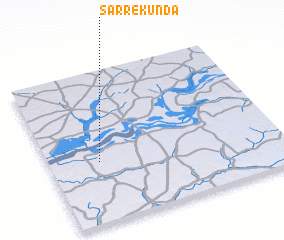 Places with similar names to Sarre Kunda, Gambia, The ::
// Şorkǝnd (AZ)
// Şurakǝnd (AZ)
// Şurakǝnd (AZ)
// Şurakǝnd (AZ)
// Cerro Cañito (PA)
// Saraykent (TR)
// Sarıkent (TR)
// Sarai Kānda (BD)
// Serkāndi (BD)
// Soārkāndi (BD)
Disclaimer :: Information on this page comes without warranty of any kind |
||
|
Where is Sarre Kunda? Elevation and coordinates ::
Latitude (lat): 13°24'0"N Longitude (lon): 15°47'0"W
Elevation (approx.): 20m (map arrows pan, magnifying glasses zoom) |
||
|
Visiting Sarre Kunda? Hotel/Accommodation ::
Book a hotel in Sarre Kunda Travel Guide ::
Buy a travel guide for Gambia, The rental cars ::
car rental offers GPS waypoint ::
download a GPX waypoint (PoI) of Sarre Kunda for your GPS receiver
|
||