|
search place name
|
||
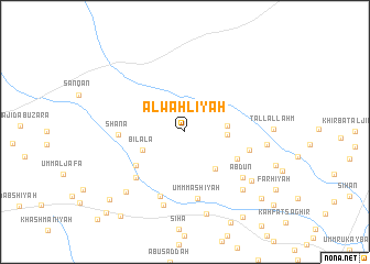
Al Waḩlīyah (Al Ḩasakah, Syria)Al Waḩlīyah is a town in the Al Ḩasakah region of Syria. An overview map of the region around Al Waḩlīyah is displayed below.
regional and 3d topo map of Al Waḩlīyah, Syria ::
Al Waḩlīyah airports ::
The nearest airport is DEZ - Deire Zor Deir Zzor, located 111.4 km south of Al Waḩlīyah.
Other airports nearby include DIY - Diyabakir Diyarbakir (186.0 km north), BAL - Batman (193.9 km north), Nearby towns ::
Sahlat ad Dubbān (3.5km east) //
Musayjirah (3.5km east) //
Bīlālā (3.9km south west) //
Khirbat as Suwaydīyah (4.5km south east) //
Bāb al Faraj (5.1km south east) //
Abū Bardī (5.2km south west) //
Umm Ḩijārah (5.6km east) //
Marthīyah (6.1km south west) //
Shānā (5.5km west) //
Umm Ma‘shīyah (6.9km south) //
Ḩuwaytilah (6.8km south) //
‘Abdūn (6.6km south east) //
Abū Ḩuwayshah (7.6km south) //
Finlah (7.5km south east) //
Umm Ḩafūr (7.4km south east) //
Tuffāḩīyah (6.8km east) //
Ādam (7.8km south west) //
Sālimīyat Umm Kahf (8.5km south) //
Al Ḩaşw (9.2km south west) //
Khirbat al Ghadīr (9.2km south east) //
Khirbat as Sawdā (9.9km south east) //
Şuwayyān (10.0km south west) //
Rumaylān (10.5km south west) //
[all distances 'as the bird flies' and approximate] 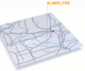 Places with similar names to Al Waḩlīyah, Syria ::
// Al Wu‘līyah (YE)
Disclaimer :: Information on this page comes without warranty of any kind |
||
|
Where is Al Waḩlīyah? Elevation and coordinates ::
Latitude (lat): 36°14'30"N Longitude (lon): 40°33'0"E
Elevation (approx.): 367m (map arrows pan, magnifying glasses zoom) |
||
|
Visiting Al Waḩlīyah? Hotel/Accommodation ::
Book a hotel in Al Waḩlīyah Travel Guide ::
Buy a travel guide for Syria rental cars ::
car rental offers GPS waypoint ::
download a GPX waypoint (PoI) of Al Waḩlīyah for your GPS receiver
|
||