|
search place name
|
||
Bandirak (Ḩalab, Syria)Bandirak is a town in the Ḩalab region of Syria. An overview map of the region around Bandirak is displayed below.
regional and 3d topo map of Bandirak, Syria ::

Bandirak airports ::
The nearest airport is GZT - Gaziantep Oguzeli, located 69.5 km east of Bandirak.
Other airports nearby include ALP - Aleppo Intl (84.0 km south east), ADA - Adana Incirlik Ab (116.9 km west), ADA - Adana (129.3 km west), LTK - Latakia Bassel Al Assad Intl (171.6 km south west), Nearby towns ::
Deliosman (2.0km east) //
Kazıklı (2.9km north west) //
Hisar (4.0km north) //
Tabah Kūy (4.0km south) //
Bak Ūbāsī (4.7km south east) //
Samālik (4.7km south west) //
Maydān Ikbis (4.5km west) //
Çerçili (5.1km east) //
Yolbaşı (7.0km north west) //
Balāl Kūy (8.0km south) //
Safar Yānlī (8.6km south east) //
Khafar Yānlī (9.5km south east) //
[all distances 'as the bird flies' and approximate] 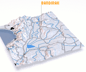 Places with similar names to Bandirak, Syria ::
// Bandurica (BA)
// Bentarique (ES)
// Bontrug (ZA)
// Bondarka (RU)
// Bandargāh (IR)
// Bandargāh (IR)
// Bandargāh (IR)
// Bantirago (GH)
// Bint Ruqayyah (SD)
// Ban Tariak (LA)
Disclaimer :: Information on this page comes without warranty of any kind |
||
|
Where is Bandirak? Elevation and coordinates ::
Latitude (lat): 36°49'0"N Longitude (lon): 36°43'0"E
Elevation (approx.): 499m (map arrows pan, magnifying glasses zoom) |
||
|
Visiting Bandirak? Hotel/Accommodation ::
Book a hotel in Bandirak Travel Guide ::
Buy a travel guide for Syria rental cars ::
car rental offers GPS waypoint ::
download a GPX waypoint (PoI) of Bandirak for your GPS receiver
|
||