|
search place name
|
||
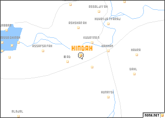
Hindah (Ar Raqqah, Syria)Hindah is a town in the Ar Raqqah region of Syria. An overview map of the region around Hindah is displayed below.
regional and 3d topo map of Hindah, Syria ::
Hindah airports ::
The nearest airport is ALP - Aleppo Intl, located 138.3 km west of Hindah.
Other airports nearby include PMS - Palmyra (145.7 km south), DEZ - Deire Zor Deir Zzor (147.2 km south east), GZT - Gaziantep Oguzeli (165.0 km north west), Nearby towns ::
Ath Thadyayn (2.6km south east) //
‘Ibād (2.8km west) //
Kudayrān (4.1km north east) //
Ḩammām (5.1km east) //
Ash Shārah (7.1km north) //
Ḩuwayjat Faraj (9.3km north east) //
Hunaydī (9.9km south east) //
[all distances 'as the bird flies' and approximate] 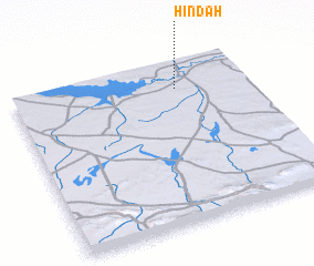 Places with similar names to Hindah, Syria ::
Disclaimer :: Information on this page comes without warranty of any kind |
||
|
Where is Hindah? Elevation and coordinates ::
Latitude (lat): 35°50'0"N Longitude (lon): 38°41'50"E
Elevation (approx.): 309m (map arrows pan, magnifying glasses zoom) |
||
|
Visiting Hindah? Hotel/Accommodation ::
Book a hotel in Hindah Travel Guide ::
Buy a travel guide for Syria rental cars ::
car rental offers GPS waypoint ::
download a GPX waypoint (PoI) of Hindah for your GPS receiver
|
||