|
search place name
|
||
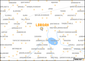
Lābidah (Ḩalab, Syria)Lābidah is a town in the Ḩalab region of Syria. An overview map of the region around Lābidah is displayed below.
regional and 3d topo map of Lābidah, Syria ::
Lābidah airports ::
The nearest airport is ALP - Aleppo Intl, located 55.3 km south west of Lābidah.
Other airports nearby include GZT - Gaziantep Oguzeli (64.3 km north west), LTK - Latakia Bassel Al Assad Intl (199.1 km south west), PMS - Palmyra (212.2 km south), Nearby towns ::
Bizzah (1.5km east) //
Mīl Wīrān (2.4km north east) //
Al Ḩūtah (2.4km north west) //
Mushayrifah (4.0km south) //
Zu‘rūrah (4.0km south) //
Abū Mandīl (4.5km east) //
Jubb as Sulţān (5.6km south) //
Quzjalī aş Şaghīr (5.6km north) //
Umm Ţamākh (4.8km north east) //
Quzjalī al Kabīr (5.8km north) //
Qārah (4.8km north west) //
Maqţa‘ Ḩajar aş Şaghīr (6.0km east) //
Jubb al Ḩamām (7.4km south) //
Jubb al Ḩamīr (6.2km west) //
Tulaylah (7.1km south east) //
Zoub Albine (8.0km north) //
Maqbarah (7.0km south east) //
Ḩalīsīyah (8.0km south) //
Tall Tūrīn (7.0km north west) //
Jarqī (8.9km north) //
Umm Amyāl (8.2km north east) //
Sukkarīyah al Kubrá (8.2km south west) //
Sukkarīyah aş Şughrá (8.2km south west) //
‘Ajamī (8.2km north west) //
[all distances 'as the bird flies' and approximate] 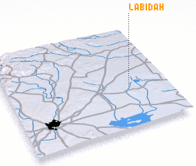 Places with similar names to Lābidah, Syria ::
Disclaimer :: Information on this page comes without warranty of any kind |
||
|
Where is Lābidah? Elevation and coordinates ::
Latitude (lat): 36°25'0"N Longitude (lon): 37°46'0"E
Elevation (approx.): 504m (map arrows pan, magnifying glasses zoom) |
||
|
Visiting Lābidah? Hotel/Accommodation ::
Book a hotel in Lābidah Travel Guide ::
Buy a travel guide for Syria rental cars ::
car rental offers GPS waypoint ::
download a GPX waypoint (PoI) of Lābidah for your GPS receiver
|
||