|
search place name
|
||
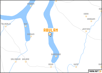
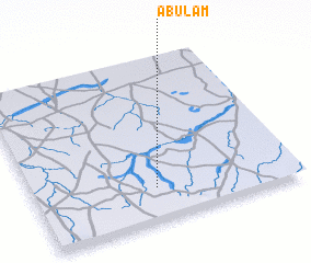
Abulam (Gongola, Nigeria)Abulam is a town in the Gongola region of Nigeria. An overview map of the region around Abulam is displayed below.
regional and 3d topo map of Abulam, Nigeria ::
Abulam airports ::
The nearest airport is MIU - Maiduguri, located 98.7 km north east of Abulam.
Other airports nearby include MVR - Maroua Salak (212.6 km south east), YOL - Yola (214.9 km south), GOU - Garoua (228.7 km south east), Nearby towns ::
 Places with similar names to Abulam, Nigeria ::
// Āb Lamī (IR)
// Abalam (NG)
// Abalama (NG)
// Abuloma (NG)
// Abel Maueua (MZ)
// Abū ‘Alīmeh (IR)
// Abū ‘Oleymeh (IR)
// Ābīlamī (ET)
// Ablamé (TG)
// Aboloumé (BJ)
Disclaimer :: Information on this page comes without warranty of any kind |
||
|
Where is Abulam? Elevation and coordinates ::
Latitude (lat): 11°12'0"N Longitude (lon): 12°28'0"E
Elevation (approx.): 434m (map arrows pan, magnifying glasses zoom) |
||
|
Visiting Abulam? Hotel/Accommodation ::
Book a hotel in Abulam Travel Guide ::
Buy a travel guide for Nigeria rental cars ::
car rental offers GPS waypoint ::
download a GPX waypoint (PoI) of Abulam for your GPS receiver
|
||