|
search place name
|
||
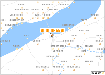
Birnin-Kebbi (Nigeria)Birnin-Kebbi is a town in Nigeria. An overview map of the region around Birnin-Kebbi is displayed below.
regional and 3d topo map of Birnin-Kebbi, Nigeria ::
Birnin-Kebbi airports ::
The nearest airport is SKO - Sokoto Sadiq Abubakar Iii Intl, located 121.0 km north east of Birnin-Kebbi.
Nearby towns ::
Tarasa (3.6km north west) //
Bulassa (4.1km south) //
Ungwan Naraba (4.6km south east) //
Badaria (5.6km south west) //
Harasawa (6.1km east) //
Wurohezo (6.3km south) //
Gwadan Gaji (6.6km north east) //
Akwara (7.1km north) //
Kawara (7.5km east) //
Alumadi (7.7km north west) //
Bunga Sabua (7.7km north west) //
Goru (7.9km south) //
Ungwan Lona (7.9km south) //
Buri (8.7km north west) //
Duko (8.7km north west) //
Bunga Baba (8.8km north) //
Kakalafia (8.8km north) //
Gawasu (9.1km north) //
Tantaramag (9.4km north) //
Birnin Maurida (9.9km north west) //
Ungwa Kaye (10.2km north west) //
Sodangi (10.9km south east) //
Jajage (11.3km north west) //
[all distances 'as the bird flies' and approximate] 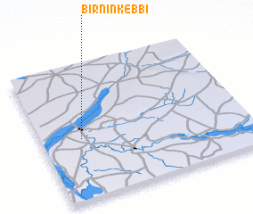 Places with similar names to Birnin-Kebbi, Nigeria :: Disclaimer :: Information on this page comes without warranty of any kind |
||
|
Where is Birnin-Kebbi? Elevation and coordinates ::
Latitude (lat): 12°27'14"N Longitude (lon): 4°11'51"E
Elevation (approx.): 236m (map arrows pan, magnifying glasses zoom) |
||
|
Visiting Birnin-Kebbi? Hotel/Accommodation ::
Book a hotel in Birnin-Kebbi Travel Guide ::
Buy a travel guide for Nigeria rental cars ::
car rental offers GPS waypoint ::
download a GPX waypoint (PoI) of Birnin-Kebbi for your GPS receiver
|
||