|
search place name
|
||
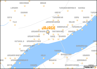
Jajage (Gongola, Nigeria)Jajage is a town in the Gongola region of Nigeria. An overview map of the region around Jajage is displayed below.
regional and 3d topo map of Jajage, Nigeria ::
Jajage airports ::
The nearest airport is SKO - Sokoto Sadiq Abubakar Iii Intl, located 124.1 km east of Jajage.
Other airports nearby include NIM - Niamey Diori Hamani (236.1 km north west), Nearby towns ::
Birnin Maurida (1.9km south) //
Tambona (1.8km west) //
Ungwa Kaye (1.8km east) //
Buri (2.6km south east) //
Duko (2.6km south east) //
Ungwar Makera (3.6km west) //
Tantaramag (3.6km east) //
Bangwa (4.1km south west) //
Baban Dutse (4.1km north west) //
Dugama (4.1km north west) //
Bunga Sabua (4.1km south east) //
Alumadi (4.1km south east) //
Jarara Aganda (4.1km north east) //
Sabon Gari (5.2km south west) //
Akwara (5.7km east) //
Ungwa Tanari (5.7km west) //
Ungwa Dole (5.7km west) //
Bawa (5.8km north) //
Sabaruawa (5.7km east) //
Ungwa Danyako (6.6km south west) //
Tunga Bawa (6.6km north east) //
Kakalafia (7.2km east) //
Bunga Baba (7.2km east) //
Tarasa (8.2km south east) //
Karyo (8.2km north east) //
Kaikayaje (8.1km north east) //
Ungwan Rafi (9.1km south west) //
Birnin-Kebbi (11.3km south east) //
[all distances 'as the bird flies' and approximate] 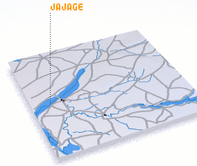 Places with similar names to Jajage, Nigeria ::
// Gejiaji (CN)
Disclaimer :: Information on this page comes without warranty of any kind |
||
|
Where is Jajage? Elevation and coordinates ::
Latitude (lat): 12°32'0"N Longitude (lon): 4°8'0"E
Elevation (approx.): 203m (map arrows pan, magnifying glasses zoom) |
||
|
Visiting Jajage? Hotel/Accommodation ::
Book a hotel in Jajage Travel Guide ::
Buy a travel guide for Nigeria rental cars ::
car rental offers GPS waypoint ::
download a GPX waypoint (PoI) of Jajage for your GPS receiver
|
||