|
search place name
|
||
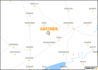
Dan Zabia (Gongola, Nigeria)Dan Zabia is a town in the Gongola region of Nigeria. An overview map of the region around Dan Zabia is displayed below.
regional and 3d topo map of Dan Zabia, Nigeria ::
Dan Zabia airports ::
The nearest airport is KAN - Kano Mallam Aminu Intl, located 130.3 km west of Dan Zabia.
Other airports nearby include ZND - Zinder (163.8 km north west), ZAR - Zaria (259.1 km south west), Nearby towns ::
Morso (2.6km north east) //
Ungua Jiburu (3.7km south) //
Turmi (4.1km south east) //
Adua (4.1km north west) //
Garangari (8.1km north east) //
Maikerabo (8.1km north west) //
Tsamiagoma (9.2km south east) //
Karama (9.1km south west) //
Madaka (10.4km north west) //
[all distances 'as the bird flies' and approximate] 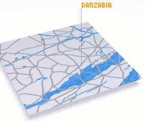 Places with similar names to Dan Zabia, Nigeria ::
// Tanzybey (RU)
// Dunsub (PH)
// Dansby (US)
// Dan Zabia (NE)
// Dan Zabo (NE)
// Dan Zabo (NE)
// Dan Zabou (NE)
// Dan Sabo (NG)
// Ti-n-Azabo (ML)
// Dona Eusébia (BR)
Disclaimer :: Information on this page comes without warranty of any kind |
||
|
Where is Dan Zabia? Elevation and coordinates ::
Latitude (lat): 12°27'0"N Longitude (lon): 9°39'0"E
Elevation (approx.): 366m (map arrows pan, magnifying glasses zoom) |
||
|
Visiting Dan Zabia? Hotel/Accommodation ::
Book a hotel in Dan Zabia Travel Guide ::
Buy a travel guide for Nigeria rental cars ::
car rental offers GPS waypoint ::
download a GPX waypoint (PoI) of Dan Zabia for your GPS receiver
|
||