|
search place name
|
||
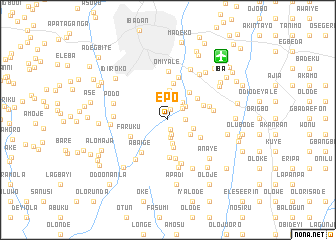
Epo (Oyo, Nigeria)Epo is a town in the Oyo region of Nigeria. An overview map of the region around Epo is displayed below.
regional and 3d topo map of Epo, Nigeria ::
Epo airports ::
The nearest airport is IBA - Ibadan, located 9.2 km north east of Epo.
Other airports nearby include LOS - Lagos Murtala Muhammed (104.0 km south west), ILR - Ilorin (141.0 km north east), AKR - Akure (152.1 km east), COO - Cotonou Cadjehoun (199.6 km south west), Nearby towns ::
Aiyegun (1.1km south) //
Ogbere (1.2km north) //
Adelakun (1.6km south) //
Amogun (1.9km east) //
Kotiegba (1.9km south) //
Ologan (2.0km north east) //
Elegun (2.2km north) //
Olurinde (2.3km north) //
Mohun (2.5km north east) //
Anwo (2.6km north east) //
Idiosan (2.6km south) //
Ajola (3.0km south east) //
Ariori (3.0km east) //
Lafikun (3.1km south) //
Ojo (3.3km north) //
Ogundepo (3.9km north east) //
Idiosan (4.0km north east) //
Okiti (4.1km south east) //
Akamo (4.1km north) //
Jagun (4.2km south) //
Aiyetoro (4.3km east) //
Oba Ado (4.3km south) //
Faruku (4.6km south west) //
Aba Ige (4.7km south west) //
Saka (4.8km north) //
Ogundepo (4.8km east) //
Bale (5.1km south) //
Temidire (5.1km east) //
Ondunjo (5.1km south) //
[all distances 'as the bird flies' and approximate] 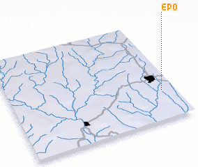 Places with similar names to Epo, Nigeria ::
Disclaimer :: Information on this page comes without warranty of any kind |
||
|
Where is Epo? Elevation and coordinates ::
Latitude (lat): 7°17'54"N Longitude (lon): 3°55'30"E
Elevation (approx.): 182m (map arrows pan, magnifying glasses zoom) |
||
|
Visiting Epo? Hotel/Accommodation ::
Book a hotel in Epo Travel Guide ::
Buy a travel guide for Nigeria rental cars ::
car rental offers GPS waypoint ::
download a GPX waypoint (PoI) of Epo for your GPS receiver
|
||