|
search place name
|
||
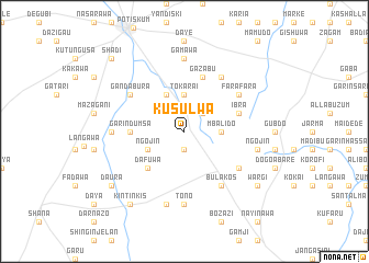
Kusulwa (Gongola, Nigeria)Kusulwa is a town in the Gongola region of Nigeria. An overview map of the region around Kusulwa is displayed below.
regional and 3d topo map of Kusulwa, Nigeria ::
Kusulwa airports ::
The nearest airport is MIU - Maiduguri, located 215.7 km east of Kusulwa.
Nearby towns ::
Mara (1.9km south) //
Babateduwa (2.6km north east) //
Tokarai (3.7km north) //
Mbalido (3.6km east) //
Badejo (4.1km north west) //
Ngojin (4.1km south west) //
Dafuwa (5.2km south west) //
Garin Dumsa (5.4km west) //
Ibra (5.8km east) //
Gazabu (5.8km north) //
Gandabura (6.6km north west) //
Bulakos (6.6km south east) //
Arjali (6.6km north east) //
Farafara (6.6km north east) //
Baba (6.6km north east) //
Abarezoma (6.6km south east) //
Gamawa (7.4km north) //
Allagarno (7.3km west) //
Tono (7.4km south) //
Ngojin (7.5km east) //
Gabo (7.6km south) //
Kushidaya (9.1km south east) //
Wargi (9.1km south east) //
Daura (9.1km south west) //
Kintinkis (9.2km south west) //
Shadi (10.4km north west) //
[all distances 'as the bird flies' and approximate] 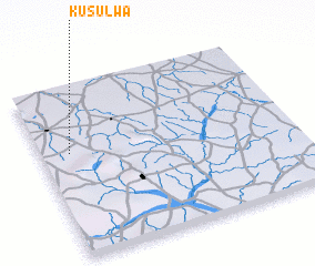 Places with similar names to Kusulwa, Nigeria ::
Disclaimer :: Information on this page comes without warranty of any kind |
||
|
Where is Kusulwa? Elevation and coordinates ::
Latitude (lat): 11°37'0"N Longitude (lon): 11°7'0"E
Elevation (approx.): 463m (map arrows pan, magnifying glasses zoom) |
||
|
Visiting Kusulwa? Hotel/Accommodation ::
Book a hotel in Kusulwa Travel Guide ::
Buy a travel guide for Nigeria rental cars ::
car rental offers GPS waypoint ::
download a GPX waypoint (PoI) of Kusulwa for your GPS receiver
|
||