|
search place name
|
||
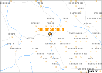
Ruwan Doruwa (Gongola, Nigeria)Ruwan Doruwa is a town in the Gongola region of Nigeria. An overview map of the region around Ruwan Doruwa is displayed below.
regional and 3d topo map of Ruwan Doruwa, Nigeria ::
Ruwan Doruwa airports ::
The nearest airport is QUS - Gusau, located 29.4 km east of Ruwan Doruwa.
Other airports nearby include SKO - Sokoto Sadiq Abubakar Iii Intl (153.2 km north west), MFG - Maradi (159.3 km north east), ZAR - Zaria (183.1 km south east), KAD - Kaduna (195.7 km south east), Nearby towns ::
Dama Guli (1.9km south) //
Tudun Saigi (3.7km south) //
Takasa (3.7km north) //
Kade Daba (4.1km north west) //
Bolaii (4.1km south east) //
Baraia Zaki (5.2km north east) //
Saiboji (5.6km north) //
Bom Bami (5.7km west) //
Sarkin Rafi (6.6km south east) //
Gidan Ile (6.6km north west) //
Yagaba (7.4km south) //
Dan Zara (7.5km west) //
Gadauna (7.8km south east) //
Gada (7.8km north east) //
Alafa (7.8km south west) //
Margau (8.3km south west) //
Tudun Wada (8.3km south west) //
[all distances 'as the bird flies' and approximate] 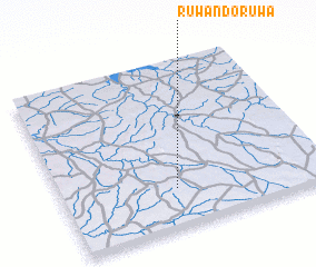 Places with similar names to Ruwan Doruwa, Nigeria :: Disclaimer :: Information on this page comes without warranty of any kind |
||
|
Where is Ruwan Doruwa? Elevation and coordinates ::
Latitude (lat): 12°14'0"N Longitude (lon): 6°26'0"E
Elevation (approx.): 414m (map arrows pan, magnifying glasses zoom) |
||
|
Visiting Ruwan Doruwa? Hotel/Accommodation ::
Book a hotel in Ruwan Doruwa Travel Guide ::
Buy a travel guide for Nigeria rental cars ::
car rental offers GPS waypoint ::
download a GPX waypoint (PoI) of Ruwan Doruwa for your GPS receiver
|
||