|
search place name
|
||
Changjae-dong (Kaesŏng, Korea, North)Changjae-dong is a town in the Kaesŏng region of Korea, North. An overview map of the region around Changjae-dong is displayed below.
regional and 3d topo map of Changjae-dong, Korea, North ::

Changjae-dong airports ::
The nearest airport is GMP - Seoul Gimpo, located 70.7 km south of Changjae-dong.
Other airports nearby include SSN - Seoul East Seoul Ab (85.0 km south), OSN - Osan Ab (122.7 km south), SHO - Sokch'o Sokcho (149.9 km east), FNJ - Pyongyang Intl (156.2 km north west), Nearby towns ::
Magŭn-dong (1.3km north west) //
Sangnyŏng-ni (1.4km north east) //
Kach'ŏl-li (2.5km south west) //
P'an'gyo-ri (3.3km south west) //
Chŏm-ch'on (3.7km south) //
P'yŏng-ch'on (3.3km west) //
Suhyŏn-ni (3.5km west) //
Chuŭl-tong (4.2km south west) //
Sŏktul-li (4.0km north west) //
Kasinae (4.4km south) //
Nŭng-ch'on (4.3km north west) //
Wŏnhyŏn-dong (3.9km north west) //
Sin-ch'on (4.4km north west) //
Yangjigok (4.8km south) //
Naengjŏng-ni (4.2km south west) //
Se-dong (4.9km north) //
Changhang-ni (4.1km east) //
No-dong (5.0km south west) //
Chiŏdae (5.2km south) //
Wa-dong (4.2km west) //
Kach'ol-li (5.4km south) //
Kwijon-ni (5.1km south east) //
Wŏlch'on-dong (5.4km north) //
Sorhyŏl-li (4.4km west) //
Tok-kol (5.7km north) //
Imchuk-tong (4.6km west) //
Kudae-dong (4.6km east) //
Maegok-tong (5.6km north west) //
Sangma-dong (5.7km south west) //
[all distances 'as the bird flies' and approximate] 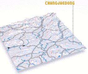 Places with similar names to Changjae-dong, Korea, North ::
// Changjae-dong (KP)
// Changjae-dong (KP)
// Changjae-dong (KP)
// Changjae-dong (KP)
// Changjae-dong (KP)
// Changjae-dong (KP)
// Changjae-dong (KP)
// Chŏngja-dong (KP)
// Chŏngja-dong (KP)
// Chŏngja-dong (KP)
Disclaimer :: Information on this page comes without warranty of any kind |
||
|
Where is Changjae-dong? Elevation and coordinates ::
Latitude (lat): 38°11'26"N Longitude (lon): 126°53'20"E
Elevation (approx.): 148m (map arrows pan, magnifying glasses zoom) |
||
|
Visiting Changjae-dong? Hotel/Accommodation ::
Book a hotel in Changjae-dong Travel Guide ::
rental cars ::
car rental offers GPS waypoint ::
download a GPX waypoint (PoI) of Changjae-dong for your GPS receiver
|
||