|
search place name
|
||
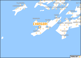
Chango-ri (Korea, North)Chango-ri is a town in Korea, North. An overview map of the region around Chango-ri is displayed below.
regional and 3d topo map of Chango-ri, Korea, North ::
Chango-ri airports ::
The nearest airport is GMP - Seoul Gimpo, located 137.1 km east of Chango-ri.
Other airports nearby include SSN - Seoul East Seoul Ab (167.4 km east), FNJ - Pyongyang Intl (171.3 km north), OSN - Osan Ab (172.2 km south east), KUB - Kunsan Ab (235.2 km south east), Nearby towns ::
Suo (0.0km north) //
Sunwi-ri (1.0km east) //
Kudol (1.9km south) //
Saenaru (1.5km west) //
Yennaru (2.4km south west) //
Nŭlmok (2.9km east) //
Ŏhwado-ri (4.2km north) //
Tojang (4.3km north east) //
Changdae (6.9km north east) //
Tangp'o (7.4km north east) //
T'anp'o (8.1km north east) //
[all distances 'as the bird flies' and approximate] 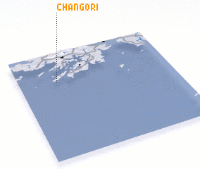 Places with similar names to Chango-ri, Korea, North ::
Disclaimer :: Information on this page comes without warranty of any kind |
||
|
Where is Chango-ri? Elevation and coordinates ::
Latitude (lat): 37°43'0"N Longitude (lon): 125°15'0"E
Elevation (approx.): 47m (map arrows pan, magnifying glasses zoom) |
||
|
Visiting Chango-ri? Hotel/Accommodation ::
Book a hotel in Chango-ri Travel Guide ::
rental cars ::
car rental offers GPS waypoint ::
download a GPX waypoint (PoI) of Chango-ri for your GPS receiver
|
||