|
search place name
|
||
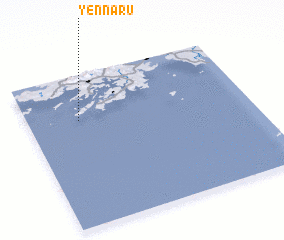
Yennaru (Korea, North)Yennaru is a town in Korea, North. An overview map of the region around Yennaru is displayed below.
regional and 3d topo map of Yennaru, Korea, North ::

Yennaru airports ::
The nearest airport is GMP - Seoul Gimpo, located 138.4 km east of Yennaru.
Other airports nearby include SSN - Seoul East Seoul Ab (168.5 km east), OSN - Osan Ab (172.8 km south east), FNJ - Pyongyang Intl (173.4 km north), KUB - Kunsan Ab (234.4 km south east), Nearby towns ::
 Places with similar names to Yennaru, Korea, North ::
// Yanyr (RU)
// Yanéri (BJ)
// Yaenero II (CD)
// Yenūr (IN)
// Hyŏnnae-ri (KP)
// Yunae-ri (KP)
// Hyŏnnae-ri (KR)
// Hyŏnnae-ri (KR)
// Yenae-ri (KR)
// Hyangha-ri (KP)
Disclaimer :: Information on this page comes without warranty of any kind |
||
|
Where is Yennaru? Elevation and coordinates ::
Latitude (lat): 37°42'0"N Longitude (lon): 125°14'0"E
Elevation (approx.): 12m (map arrows pan, magnifying glasses zoom) |
||
|
Visiting Yennaru? Hotel/Accommodation ::
Book a hotel in Yennaru Travel Guide ::
rental cars ::
car rental offers GPS waypoint ::
download a GPX waypoint (PoI) of Yennaru for your GPS receiver
|
||