|
search place name
|
||
Kulsal-li (Hamgyŏng, Korea, North)Kulsal-li is a town in the Hamgyŏng region of Korea, North. An overview map of the region around Kulsal-li is displayed below.
regional and 3d topo map of Kulsal-li, Korea, North ::

Nearby towns ::
Haengyŏng-ni (3.5km south) //
Ssŏgŭndari (4.5km north west) //
Naksaeng-ni (5.6km south west) //
Chungbong-nodongjagu (4.6km west) //
Taein-dong (5.9km south west) //
Sobaeksan (7.4km north) //
Chungch'u-dong (5.7km west) //
P'yŏngjangsu-dong (6.7km north east) //
Oŏk-tong (6.7km south east) //
Naksaeng-ni (8.4km south) //
[all distances 'as the bird flies' and approximate] 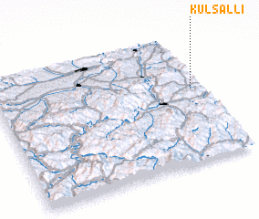 Places with similar names to Kulsal-li, Korea, North ::
// Kilsǝli (AZ)
// Kilsǝli (AZ)
// Gläsel (DE)
// Calzaiolo (IT)
// Collescille (IT)
// Collicelli (IT)
// Collicello (IT)
// Collicello (IT)
// Çalışlı (TR)
// Kalaycılı (TR)
Disclaimer :: Information on this page comes without warranty of any kind |
||
|
Where is Kulsal-li? Elevation and coordinates ::
Latitude (lat): 42°34'0"N Longitude (lon): 129°56'56"E
Elevation (approx.): 287m (map arrows pan, magnifying glasses zoom) |
||
|
Visiting Kulsal-li? Hotel/Accommodation ::
Book a hotel in Kulsal-li Travel Guide ::
rental cars ::
car rental offers GPS waypoint ::
download a GPX waypoint (PoI) of Kulsal-li for your GPS receiver
|
||