|
search place name
|
||
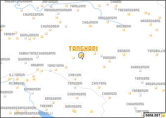
Tangha-ri (P'yŏngan, Korea, North)Tangha-ri is a town in the P'yŏngan region of Korea, North. An overview map of the region around Tangha-ri is displayed below.
regional and 3d topo map of Tangha-ri, Korea, North ::
Tangha-ri airports ::
The nearest airport is FNJ - Pyongyang Intl, located 123.7 km south east of Tangha-ri.
Nearby towns ::
Ch'ŏnsan-ni (1.6km west) //
Hwangga-ri (2.4km north east) //
Sŏp'yŏng-ni (3.5km south west) //
Un'gong-ni (3.3km east) //
Ch'ayu-ri (4.8km south) //
Masang-ni (4.1km south east) //
Pongo-ri (4.7km east) //
Yongyŏn-ni (5.3km south west) //
Tonggo-ri (6.6km south) //
Chik-tong (7.0km south east) //
Ch'ojing-ni (7.6km north) //
Sŏgodong-Sanggong-ni (6.3km south west) //
Yŏnmang-ni (7.9km north) //
Chorim-dong (8.9km south) //
Sang-ni (9.2km north west) //
Chungdae-ri (8.6km north west) //
Ŏsang-dong (8.5km north west) //
Songdong-ni (9.4km north east) //
Choang-ni (9.9km south east) //
[all distances 'as the bird flies' and approximate] 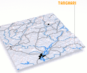 Places with similar names to Tangha-ri, Korea, North ::
Disclaimer :: Information on this page comes without warranty of any kind |
||
|
Where is Tangha-ri? Elevation and coordinates ::
Latitude (lat): 40°10'28"N Longitude (lon): 124°54'59"E
Elevation (approx.): 174m (map arrows pan, magnifying glasses zoom) |
||
|
Visiting Tangha-ri? Hotel/Accommodation ::
Book a hotel in Tangha-ri Travel Guide ::
rental cars ::
car rental offers GPS waypoint ::
download a GPX waypoint (PoI) of Tangha-ri for your GPS receiver
|
||