|
search place name
|
||
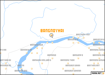
Ban Gnoyhai (Laos)Ban Gnoyhai is a town in Laos. An overview map of the region around Ban Gnoyhai is displayed below.
regional and 3d topo map of Ban Gnoyhai, Laos ::
Ban Gnoyhai airports ::
The nearest airport is VTE - Vientiane Wattay Intl, located 97.7 km south west of Ban Gnoyhai.
Other airports nearby include UTH - Udon Thani (131.9 km south west), SNO - Sakon Nakhon (161.0 km south east), LPQ - Luang Prabang Luang Phabang Intl (203.3 km north west), LOE - Loei (205.6 km south west), Nearby towns ::
Ban Nong Kheng (1.9km south) //
Ban Pak Lo (2.6km south west) //
Ban Don Muang (5.1km south west) //
Ban Bua (6.4km south west) //
Ban Nong Bua (6.4km south west) //
Ban Na So (7.4km south) //
Ban Nongkeun (7.0km east) //
Ban Sango (7.3km east) //
Ban Sa Ngo (7.3km east) //
Ban Tha Kling (7.7km south west) //
Ban Na Kang (9.0km south west) //
[all distances 'as the bird flies' and approximate] 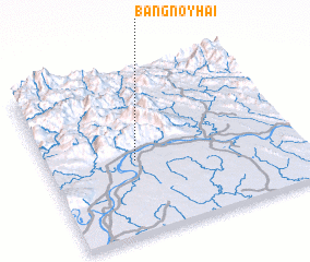 Places with similar names to Ban Gnoyhai, Laos ::
// Banganohó (MX)
// Ban Gnoyhai (LA)
// Ban Kanha (LA)
// Bản Cú Như (VN)
// Bang Nho (VN)
// Buôn Konho (VN)
Disclaimer :: Information on this page comes without warranty of any kind |
||
|
Where is Ban Gnoyhai? Elevation and coordinates ::
Latitude (lat): 18°27'0"N Longitude (lon): 103°21'0"E
Elevation (approx.): 156m (map arrows pan, magnifying glasses zoom) |
||
|
Visiting Ban Gnoyhai? Hotel/Accommodation ::
Book a hotel in Ban Gnoyhai Travel Guide ::
Buy a travel guide for Laos rental cars ::
car rental offers GPS waypoint ::
download a GPX waypoint (PoI) of Ban Gnoyhai for your GPS receiver
|
||