|
search place name
|
||
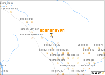
Ban Nong Yen (Laos)Ban Nong Yen is a town in Laos. An overview map of the region around Ban Nong Yen is displayed below.
regional and 3d topo map of Ban Nong Yen, Laos ::
Ban Nong Yen airports ::
The nearest airport is PKZ - Pakse, located 68.4 km south of Ban Nong Yen.
Other airports nearby include ZVK - Savannakhet (142.7 km north west), SNO - Sakon Nakhon (240.4 km north west), Nearby towns ::
Ban Phansoung (1.9km south) //
Ban Phônphèng (2.6km south west) //
Ban Saovèn (2.6km south east) //
Ban Dan Na Lao (3.6km west) //
Ban Kouttabèng (3.7km south) //
Ban Dan Noi (4.0km north west) //
Ban Nongkhitom (5.6km south) //
Ban Bouttaphan (5.8km south) //
Ban Vang Ilè (6.6km south east) //
Ban Phou Daotieng Niai (7.1km west) //
Ban Phou Daotieng Noi (7.4km west) //
Ban Donkhang (7.6km south) //
Ban Nongsichè (7.7km south east) //
Ban Nongpheung (7.7km south east) //
Ban Nong Sithié (7.7km south east) //
Ban Koutlamphong (8.2km south east) //
Ban Nônkho (9.1km south east) //
Ban Dong Taloung (9.0km north west) //
Ban Phailom (10.3km south east) //
[all distances 'as the bird flies' and approximate] 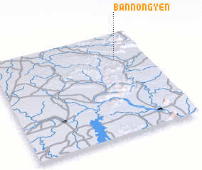 Places with similar names to Ban Nong Yen, Laos ::
// Ban Nang Yon (TH)
// Ban Nong E Yon (TH)
// Ban Nong Yao Nua (TH)
// Ban Nong Yen (TH)
// Ban Nong Yuan (TH)
Disclaimer :: Information on this page comes without warranty of any kind |
||
|
Where is Ban Nong Yen? Elevation and coordinates ::
Latitude (lat): 15°45'0"N Longitude (lon): 105°48'0"E
Elevation (approx.): 152m (map arrows pan, magnifying glasses zoom) |
||
|
Visiting Ban Nong Yen? Hotel/Accommodation ::
Book a hotel in Ban Nong Yen Travel Guide ::
Buy a travel guide for Laos rental cars ::
car rental offers GPS waypoint ::
download a GPX waypoint (PoI) of Ban Nong Yen for your GPS receiver
|
||