|
search place name
|
||
Ban Nong E Yon (Chaiyaphum, Thailand)Ban Nong E Yon is a town in the Chaiyaphum region of Thailand. An overview map of the region around Ban Nong E Yon is displayed below.
regional and 3d topo map of Ban Nong E Yon, Thailand ::

Ban Nong E Yon airports ::
The nearest airport is NAK - Nakhon Ratchasima Khorat, located 97.9 km south of Ban Nong E Yon.
Other airports nearby include UTH - Udon Thani (184.2 km north), LOE - Loei (190.5 km north), PHS - Phitsanulok (238.7 km north west), SNO - Sakon Nakhon (250.9 km north east), Nearby towns ::
Ban Don Han (4.1km north east) //
Ban Dong Bang Noi (4.0km north west) //
Ban Kaeng Sanam (5.7km east) //
Ban Lat (5.7km west) //
Ban Lat (5.7km west) //
Ban Kut Wian (5.8km south) //
Ban Uthai Thong (7.6km south) //
Ban Non Khun (7.4km west) //
Ban Nong Chan (7.7km south east) //
Ban Yang Wai (8.2km north east) //
Ban Nong Ta Kai (8.2km north west) //
[all distances 'as the bird flies' and approximate] 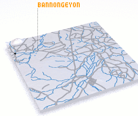 Places with similar names to Ban Nong E Yon, Thailand ::
// Ban Nang Yon (TH)
// Ban Nong Yao Nua (TH)
// Ban Nong Yen (TH)
// Ban Nong Yuan (TH)
// Ban Nong Yen (LA)
Disclaimer :: Information on this page comes without warranty of any kind |
||
|
Where is Ban Nong E Yon? Elevation and coordinates ::
Latitude (lat): 15°48'0"N Longitude (lon): 102°16'0"E
Elevation (approx.): 176m (map arrows pan, magnifying glasses zoom) |
||
|
Visiting Ban Nong E Yon? Hotel/Accommodation ::
Book a hotel in Ban Nong E Yon Travel Guide ::
Buy a travel guide for Thailand rental cars ::
car rental offers GPS waypoint ::
download a GPX waypoint (PoI) of Ban Nong E Yon for your GPS receiver
|
||