|
search place name
|
||
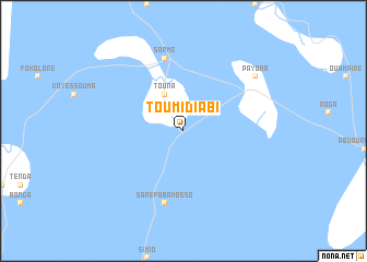
Toumi Diabi (Mali)Toumi Diabi is a town in Mali. An overview map of the region around Toumi Diabi is displayed below.
regional and 3d topo map of Toumi Diabi, Mali ::
Toumi Diabi airports ::
The nearest airport is MZI - Mopti Ambodedjo, located 46.9 km south east of Toumi Diabi.
Other airports nearby include TOM - Tombouctou (260.6 km north east), Nearby towns ::
Touna (4.1km north west) //
Sormé (7.6km north) //
Saré Faba Mosso (7.6km south) //
Payona (9.1km north east) //
[all distances 'as the bird flies' and approximate] 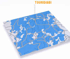 Places with similar names to Toumi Diabi, Mali ::
// Tmat Baeuy (KH)
// Tambaytobe (KZ)
// Diama Toubé (SN)
// Timtubi (NG)
// Dumbit 1 (PG)
// Diêm Tiêu (1) (VN)
// Tomtebo (SE)
// Tomteby (SE)
Disclaimer :: Information on this page comes without warranty of any kind |
||
|
Where is Toumi Diabi? Elevation and coordinates ::
Latitude (lat): 14°48'0"N Longitude (lon): 4°24'0"W
Elevation (approx.): 264m (map arrows pan, magnifying glasses zoom) |
||
|
Visiting Toumi Diabi? Hotel/Accommodation ::
Book a hotel in Toumi Diabi Travel Guide ::
Buy a travel guide for Mali rental cars ::
car rental offers GPS waypoint ::
download a GPX waypoint (PoI) of Toumi Diabi for your GPS receiver
|
||