|
search place name
|
||
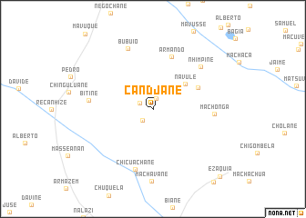
Candjane (Gaza, Mozambique)Candjane is a town in the Gaza region of Mozambique. An overview map of the region around Candjane is displayed below.
regional and 3d topo map of Candjane, Mozambique ::
Candjane airports ::
The nearest airport is SZK - Skukuza, located 216.6 km south west of Candjane.
Other airports nearby include MPM - Maputo (236.0 km south), VNX - Vilankulu Vilankulo (288.3 km north east), Nearby towns ::
Muanguela (1.4km north) //
José (1.7km north west) //
Mavadge (1.8km south west) //
Navule (4.8km north east) //
Combo (5.7km north east) //
Armando (6.8km north) //
Machonga (6.9km east) //
Chicuachane (7.7km south) //
Nhimpine (7.5km north east) //
Bitine (7.2km west) //
Bubuio (7.9km north) //
Machavane (8.9km south) //
Ezaquia (11.2km south east) //
[all distances 'as the bird flies' and approximate] 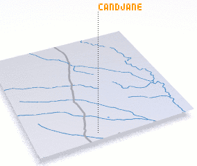 Places with similar names to Candjane, Mozambique ::
// Cantujaon (PH)
// Gandiginé (TD)
// Goundiginé (TD)
// Goundogin (TD)
// Gondeh Jīn (IR)
// Gondehjīn (IR)
// Cainatagen (PE)
Disclaimer :: Information on this page comes without warranty of any kind |
||
|
Where is Candjane? Elevation and coordinates ::
Latitude (lat): 23°55'46"S Longitude (lon): 33°24'14"E
Elevation (approx.): 54m (map arrows pan, magnifying glasses zoom) |
||
|
Visiting Candjane? Hotel/Accommodation ::
Book a hotel in Candjane Travel Guide ::
Buy a travel guide for Mozambique rental cars ::
car rental offers GPS waypoint ::
download a GPX waypoint (PoI) of Candjane for your GPS receiver
|
||