|
search place name
|
||
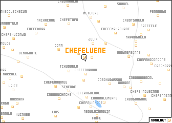
Chefe Luene (Inhambane, Mozambique)Chefe Luene is a town in the Inhambane region of Mozambique. An overview map of the region around Chefe Luene is displayed below.
regional and 3d topo map of Chefe Luene, Mozambique ::
Chefe Luene airports ::
The nearest airport is INH - Inhambane, located 75.2 km south of Chefe Luene.
Other airports nearby include VNX - Vilankulu Vilankulo (131.4 km north), Nearby towns ::
Chefe Cuelane (1.4km north east) //
Finiasse (2.3km north west) //
Chefe Nhavuo (2.7km south) //
Zefanias (4.1km south) //
Júlia (4.2km north) //
Tchuquela (4.0km south west) //
Chefe Chilubuane (5.6km north east) //
Dóra (6.0km north west) //
Cabo Mudússua (6.8km south east) //
Semende (7.3km south west) //
Chefe Anguluve (7.7km south) //
Chefe Mabinde (8.1km south west) //
Chefe Mahanuane (8.5km north east) //
Chefe Tofo (8.9km north) //
Chefe Chichoquene (9.2km north) //
Cabo Malembane (9.6km south) //
Cabo Muchache (9.7km south west) //
Anhane (9.4km south east) //
Machacane (11.4km north west) //
[all distances 'as the bird flies' and approximate] 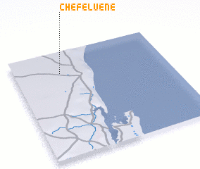 Places with similar names to Chefe Luene, Mozambique ::
Disclaimer :: Information on this page comes without warranty of any kind |
||
|
Where is Chefe Luene? Elevation and coordinates ::
Latitude (lat): 23°12'18"S Longitude (lon): 35°18'0"E
Elevation (approx.): 86m (map arrows pan, magnifying glasses zoom) |
||
|
Visiting Chefe Luene? Hotel/Accommodation ::
Book a hotel in Chefe Luene Travel Guide ::
Buy a travel guide for Mozambique rental cars ::
car rental offers GPS waypoint ::
download a GPX waypoint (PoI) of Chefe Luene for your GPS receiver
|
||