|
search place name
|
||
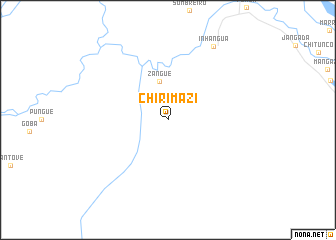
Chirimazi (Sofala, Mozambique)Chirimazi is a town in the Sofala region of Mozambique. An overview map of the region around Chirimazi is displayed below.
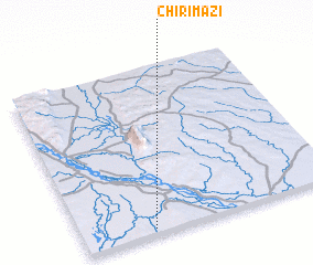
regional and 3d topo map of Chirimazi, Mozambique ::
Chirimazi airports ::
The nearest airport is UEL - Quelimane, located 169.7 km east of Chirimazi.
Other airports nearby include BEW - Beira (205.3 km south), TET - Tete Chingodzi (270.2 km north west), Nearby towns ::
 Places with similar names to Chirimazi, Mozambique ::
// Shirimsâḥ (EG)
// Chermoz (RU)
// Charmīz (IR)
// Char Meāsa (BD)
// Char Rames (BD)
// Char Ramiz (BD)
// Shurumsay (KZ)
// Shāh Hormoz (IR)
// Chiramussua (MZ)
// Chermisey (FR)
Disclaimer :: Information on this page comes without warranty of any kind |
||
|
Where is Chirimazi? Elevation and coordinates ::
Latitude (lat): 17°58'29"S Longitude (lon): 35°16'19"E
Elevation (approx.): 39m (map arrows pan, magnifying glasses zoom) |
||
|
Visiting Chirimazi? Hotel/Accommodation ::
Book a hotel in Chirimazi Travel Guide ::
Buy a travel guide for Mozambique rental cars ::
car rental offers GPS waypoint ::
download a GPX waypoint (PoI) of Chirimazi for your GPS receiver
|
||