|
search place name
|
||
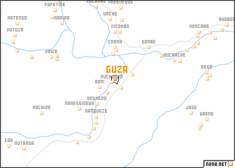
Guza (Manica, Mozambique)Guza is a town in the Manica region of Mozambique. An overview map of the region around Guza is displayed below.
regional and 3d topo map of Guza, Mozambique ::
Guza airports ::
The nearest airport is BEW - Beira, located 164.7 km east of Guza.
Other airports nearby include BFO - Chiredzi Buffalo Range (214.8 km south west), VNX - Vilankulu Vilankulo (300.4 km south east), Nearby towns ::
Cambana (0.8km south east) //
Muchoioio (0.9km west) //
Mafastela (2.1km south west) //
Gungua Loja (2.4km north) //
Gueva (2.6km north east) //
Boni (2.7km west) //
Prumero (4.5km south west) //
Dombo (4.8km north) //
Choquera (5.5km north) //
Choma (5.9km north) //
Manqueze (6.2km south west) //
Muchope (6.9km south west) //
Namessissua (7.0km south west) //
Dombé (7.5km north east) //
Canaco (8.0km south west) //
Dundo (8.3km north) //
Buzana (8.3km north) //
Xicombo (8.3km north) //
Matendenhe (8.0km north east) //
Machapua (9.4km south west) //
[all distances 'as the bird flies' and approximate] 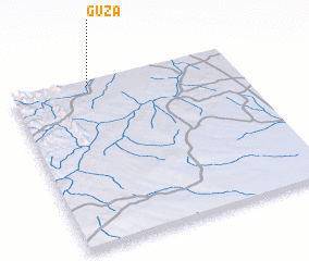 Places with similar names to Guza, Mozambique ::
Disclaimer :: Information on this page comes without warranty of any kind |
||
|
Where is Guza? Elevation and coordinates ::
Latitude (lat): 20°1'28"S Longitude (lon): 33°21'12"E
Elevation (approx.): 162m (map arrows pan, magnifying glasses zoom) |
||
|
Visiting Guza? Hotel/Accommodation ::
Book a hotel in Guza Travel Guide ::
Buy a travel guide for Mozambique rental cars ::
car rental offers GPS waypoint ::
download a GPX waypoint (PoI) of Guza for your GPS receiver
|
||