|
search place name
|
||
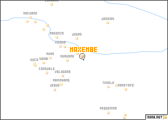
Maxembe (Gaza, Mozambique)Maxembe is a town in the Gaza region of Mozambique. An overview map of the region around Maxembe is displayed below.
regional and 3d topo map of Maxembe, Mozambique ::
Maxembe airports ::
The nearest airport is BFO - Chiredzi Buffalo Range, located 223.7 km north west of Maxembe.
Other airports nearby include PHW - Phalaborwa (224.6 km south west), HDS - Hoedspruit Afb (264.9 km south west), Nearby towns ::
Massucalane (0.9km north west) //
Eleane (2.0km north west) //
Muauane (3.4km west) //
Judas (5.1km north) //
Mongoni (4.9km north west) //
Volagane (5.6km south west) //
Xigodo (5.8km north west) //
Naminhane (7.2km south west) //
Muhé (7.0km west) //
Magonzo (7.5km north west) //
Temele (7.8km south east) //
Conguele (8.2km west) //
Mavaza (8.7km south east) //
Jeque (9.0km south west) //
Jossias (9.6km north east) //
Regedor Ocuanhe (10.8km north west) //
[all distances 'as the bird flies' and approximate] 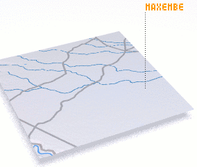 Places with similar names to Maxembe, Mozambique ::
Disclaimer :: Information on this page comes without warranty of any kind |
||
|
Where is Maxembe? Elevation and coordinates ::
Latitude (lat): 22°38'41"S Longitude (lon): 32°50'50"E
Elevation (approx.): 92m (map arrows pan, magnifying glasses zoom) |
||
|
Visiting Maxembe? Hotel/Accommodation ::
Book a hotel in Maxembe Travel Guide ::
Buy a travel guide for Mozambique rental cars ::
car rental offers GPS waypoint ::
download a GPX waypoint (PoI) of Maxembe for your GPS receiver
|
||