|
search place name
|
||
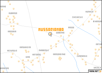
Mussariamba (Mozambique)Mussariamba is a town in Mozambique. An overview map of the region around Mussariamba is displayed below.
regional and 3d topo map of Mussariamba, Mozambique ::
Mussariamba airports ::
The nearest airport is BEW - Beira, located 109.6 km north east of Mussariamba.
Other airports nearby include VNX - Vilankulu Vilankulo (233.1 km south east), Nearby towns ::
Penicela (3.0km south east) //
Machala (3.2km south east) //
Senetisse (3.4km south) //
Dobenhe (3.4km east) //
Mada (4.1km south east) //
Dovanhama (4.3km south) //
Mussete (4.3km east) //
Penete (6.2km east) //
Ufanomaia (6.2km east) //
Nhabende (6.6km south) //
Manjoge (6.8km east) //
Massaite (7.2km east) //
Passe (7.5km east) //
Naite (7.7km south east) //
Chuquela (8.1km south) //
Mangomonhe (8.2km south) //
Gobo (7.9km south east) //
Chicuite (8.6km south) //
Cajananhe (8.7km south east) //
Mucuera (8.9km south) //
Mangomonhe (9.0km south) //
Panja (8.8km south east) //
Matoere (9.1km south west) //
Golegã (9.5km south west) //
Mabaja (10.3km south east) //
Chalombe (10.8km south west) //
Gimo (11.7km south west) //
[all distances 'as the bird flies' and approximate] 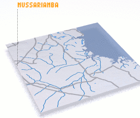 Places with similar names to Mussariamba, Mozambique ::
Disclaimer :: Information on this page comes without warranty of any kind |
||
|
Where is Mussariamba? Elevation and coordinates ::
Latitude (lat): 20°18'19"S Longitude (lon): 34°0'33"E
Elevation (approx.): 227m (map arrows pan, magnifying glasses zoom) |
||
|
Visiting Mussariamba? Hotel/Accommodation ::
Book a hotel in Mussariamba Travel Guide ::
Buy a travel guide for Mozambique rental cars ::
car rental offers GPS waypoint ::
download a GPX waypoint (PoI) of Mussariamba for your GPS receiver
|
||