|
search place name
|
||
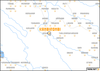
Kambirombi (Papua New Guinea)Kambirombi is a town in Papua New Guinea. An overview map of the region around Kambirombi is displayed below.
regional and 3d topo map of Kambirombi, Papua New Guinea ::
Kambirombi airports ::
The nearest airport is HGU - Mount Hagen, located 95.5 km north east of Kambirombi.
Other airports nearby include GKA - Goroka (196.0 km east), Nearby towns ::
Urida (1.8km west) //
Iapi (2.6km north west) //
Asumawi (3.7km east) //
Imani (3.7km north) //
Wandiri (4.1km south east) //
Taguere (4.1km north east) //
Uria (4.1km north west) //
Twalemanda (5.5km east) //
Wambu (5.9km north) //
Bata (6.7km north east) //
Kandoba (6.7km north east) //
Toiawaro (6.7km north west) //
Kunjura (7.6km west) //
Lagira (8.2km north east) //
Obuka (10.5km south east) //
Mondumap (10.5km north west) //
[all distances 'as the bird flies' and approximate] 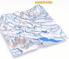 Places with similar names to Kambirombi, Papua New Guinea ::
// Komárom (HU)
// Guai Mariam (ET)
// Gomirom (TD)
// Kemrimbé (TD)
// Guamarumbo (KM)
// Gomāram (IN)
// Kamburiami (ID)
// Gamram (NE)
// Kumba Urembo (TZ)
// Gombaram (NG)
Disclaimer :: Information on this page comes without warranty of any kind |
||
|
Where is Kambirombi? Elevation and coordinates ::
Latitude (lat): 6°24'0"S Longitude (lon): 143°39'0"E
Elevation (approx.): 1252m (map arrows pan, magnifying glasses zoom) |
||
|
Visiting Kambirombi? Hotel/Accommodation ::
Book a hotel in Kambirombi Travel Guide ::
rental cars ::
car rental offers GPS waypoint ::
download a GPX waypoint (PoI) of Kambirombi for your GPS receiver
|
||