|
search place name
|
||
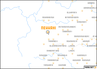
New Wahi (Sandaun, Papua New Guinea)New Wahi is a town in the Sandaun region of Papua New Guinea. An overview map of the region around New Wahi is displayed below.
regional and 3d topo map of New Wahi, Papua New Guinea ::
New Wahi airports ::
The nearest airport is DJJ - Jayapura Sentani, located 123.6 km north west of New Wahi.
Nearby towns ::
Wahi (1.9km south) //
Wagarinda (1.9km south) //
New Menggau (2.6km south east) //
Akimari Number 2 (3.7km east) //
Menggau Stone (4.1km south west) //
New Kamberatoro (4.1km south east) //
Menggau (4.1km south east) //
Tamarbek (4.1km south east) //
New Mambruk (5.6km north) //
Bambol (5.9km north) //
Petaineri Number 1 (5.9km east) //
Akimari Number 1 (6.7km south east) //
Old Akimari (6.7km south east) //
Old Kamberatoro (6.7km south east) //
Kabaineri (7.4km east) //
Nimberatoro (7.6km south) //
Petaineri Number 2 (7.6km east) //
[all distances 'as the bird flies' and approximate] 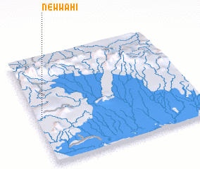 Places with similar names to New Wahi, Papua New Guinea ::
Disclaimer :: Information on this page comes without warranty of any kind |
||
|
Where is New Wahi? Elevation and coordinates ::
Latitude (lat): 3°34'0"S Longitude (lon): 141°2'0"E
Elevation (approx.): 435m (map arrows pan, magnifying glasses zoom) |
||
|
Visiting New Wahi? Hotel/Accommodation ::
Book a hotel in New Wahi Travel Guide ::
rental cars ::
car rental offers GPS waypoint ::
download a GPX waypoint (PoI) of New Wahi for your GPS receiver
|
||