|
search place name
|
||
Vunabuk (Papua New Guinea)Vunabuk is a town in Papua New Guinea. An overview map of the region around Vunabuk is displayed below.
regional and 3d topo map of Vunabuk, Papua New Guinea ::

Nearby towns ::
Ulagio (NaNkm north) //
Valaur (1.9km north) //
Ratagitagi (3.7km north) //
Nabil (4.1km north east) //
Taranata (4.1km north east) //
Rakival (5.2km north east) //
Ratongor (7.4km south) //
Tovakundum (7.6km south) //
Putanagororoi (7.6km south) //
Vunairoto (8.3km south east) //
Rambabat (8.3km south west) //
Vunadavai (8.3km south west) //
Kabakada (9.3km south east) //
Natava (9.3km south west) //
Livuan (9.3km south west) //
[all distances 'as the bird flies' and approximate] 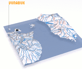 Places with similar names to Vunabuk, Papua New Guinea ::
// Vennebeck (DE)
// Fonboko (BJ)
// Fanibougou (ML)
// Fonbougou (ML)
// Founébougou (ML)
// Finnbacka (SE)
// Finnebäck (SE)
// Vänneböke (SE)
// Finnbacka (FI)
Disclaimer :: Information on this page comes without warranty of any kind |
||
|
Where is Vunabuk? Elevation and coordinates ::
Latitude (lat): 4°8'0"S Longitude (lon): 152°3'0"E
Elevation (approx.): -32768m (map arrows pan, magnifying glasses zoom) |
||
|
Visiting Vunabuk? Hotel/Accommodation ::
Book a hotel in Vunabuk Travel Guide ::
rental cars ::
car rental offers GPS waypoint ::
download a GPX waypoint (PoI) of Vunabuk for your GPS receiver
|
||