|
search place name
|
||
Rigaud (Sud, Haiti)Rigaud is a town in the Sud region of Haiti. An overview map of the region around Rigaud is displayed below.
regional and 3d topo map of Rigaud, Haiti ::

Rigaud airports ::
The nearest airport is PAP - Port-au-prince Toussaint Louverture Intl, located 158.1 km east of Rigaud.
Other airports nearby include CAP - Cap Haitien Intl (226.7 km north east), GAO - Guantanamo Mariana Grajales (242.9 km north west), Nearby towns ::
Fond des Frais (0.0km north) //
Lamore (0.0km north) //
Mathieu (1.8km west) //
Lemoine (1.8km west) //
Mélissant (1.8km west) //
Gouin (1.8km west) //
Chavette (1.9km south) //
Malo (1.8km east) //
Maniche (1.9km north) //
Tricon (1.8km east) //
Madame Marin (1.9km north) //
Melon (1.9km north) //
Senechat (1.8km east) //
Costa (2.6km south west) //
Viloux (2.6km north west) //
Marché (2.6km north west) //
Dérodière (2.6km north west) //
Labarrière (2.6km south east) //
Fraise (2.6km south east) //
Bourdeau (2.6km north east) //
Robert (2.6km north east) //
Madame Jean Pierre (3.4km east) //
Vilou (3.5km west) //
Colas (3.5km west) //
Diète (3.5km west) //
Anadère (3.5km west) //
Madeque (3.7km south) //
Cice (3.7km south) //
Génèresse (3.7km north) //
[all distances 'as the bird flies' and approximate] 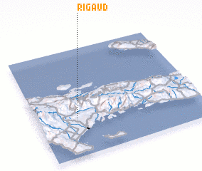 Places with similar names to Rigaud, Haiti ::
Disclaimer :: Information on this page comes without warranty of any kind |
||
|
Where is Rigaud? Elevation and coordinates ::
Latitude (lat): 18°20'0"N Longitude (lon): 73°46'0"W
Elevation (approx.): 209m (map arrows pan, magnifying glasses zoom) |
||
|
Visiting Rigaud? Hotel/Accommodation ::
Book a hotel in Rigaud Travel Guide ::
Buy a travel guide for Haiti rental cars ::
car rental offers GPS waypoint ::
download a GPX waypoint (PoI) of Rigaud for your GPS receiver
|
||