|
search place name
|
||
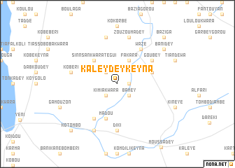
Kaleydey Keyna (Dosso, Niger)Kaleydey Keyna is a town in the Dosso region of Niger. An overview map of the region around Kaleydey Keyna is displayed below.
regional and 3d topo map of Kaleydey Keyna, Niger ::
Kaleydey Keyna airports ::
The nearest airport is NIM - Niamey Diori Hamani, located 102.8 km west of Kaleydey Keyna.
Nearby towns ::
Diaouga Midou Dey (1.8km east) //
Kimia Kwara (2.6km south west) //
Kaleydey Béri (2.6km north west) //
Bamey (2.6km south east) //
Fakara (4.1km north east) //
Sinnsan Kwara Tégui (5.2km north west) //
Sokorbey (5.2km north east) //
Madou (5.8km south) //
Dourougouna (5.7km east) //
Boudéfandou (6.6km south west) //
Goubey (6.6km north east) //
Wazé (6.6km north east) //
Diki (7.4km south) //
Ko Béri (7.4km west) //
Sinnsan Kwara Zéno (7.6km north) //
Zouzoumadey (7.6km north) //
Dey Tégui Atili (8.2km south west) //
Bani Dey (9.1km north east) //
Kotombo (10.3km south west) //
Baziga (10.3km north east) //
[all distances 'as the bird flies' and approximate] 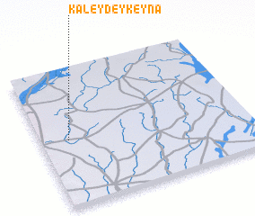 Places with similar names to Kaleydey Keyna, Niger ::
// Calatagan (PH)
// Calatagan (PH)
// Calittacan (PH)
// Güldoğan (TR)
// Kalitkino (RU)
// Kolodkino (RU)
// Kolodkino (RU)
// Kolodkino (RU)
// Qalā Tūkān (IQ)
// Goladgaon (IN)
Disclaimer :: Information on this page comes without warranty of any kind |
||
|
Where is Kaleydey Keyna? Elevation and coordinates ::
Latitude (lat): 13°29'0"N Longitude (lon): 3°8'0"E
Elevation (approx.): 226m (map arrows pan, magnifying glasses zoom) |
||
|
Visiting Kaleydey Keyna? Hotel/Accommodation ::
Book a hotel in Kaleydey Keyna Travel Guide ::
Buy a travel guide for Niger rental cars ::
car rental offers GPS waypoint ::
download a GPX waypoint (PoI) of Kaleydey Keyna for your GPS receiver
|
||