|
search place name
|
||
Bangadj (Thiès, Senegal)Bangadj is a town in the Thiès region of Senegal. An overview map of the region around Bangadj is displayed below.
regional and 3d topo map of Bangadj, Senegal ::

Bangadj airports ::
The nearest airport is DKR - Dakar Leopold Sedar Senghor Intl, located 73.2 km west of Bangadj.
Other airports nearby include KLC - Kaolack (112.1 km south east), XLS - St. Louis Saint Louis (140.0 km north), BJL - Banjul Intl (166.4 km south), Nearby towns ::
Baniaye (1.9km south) //
Dindi Anène (1.8km east) //
Keur Amadou Ndari (1.9km north) //
Keur Yoro Sadio (3.7km south) //
Mbalène (3.7km north) //
Ngoré Yop (5.2km north west) //
Keur Rhare Dièye (5.6km south) //
Keur Meïssa Ndiaké (5.6km south) //
Tialé (5.4km west) //
Gomène (5.7km east) //
Keur Matialène (5.8km north) //
Keur Assane Ndiaye (5.7km west) //
Fandène (6.5km south west) //
Keur Mamaram (7.2km west) //
Keur Makoumoa (7.2km east) //
Keur Rhali Sorhena (7.4km north) //
Lalane (7.4km west) //
Taïba Diao (7.4km east) //
Keur Ndiam Ndiaye (7.4km east) //
Keur Amari Koumba (7.6km north) //
Keur Assane Lo (7.7km south east) //
Keur Matar (7.7km south west) //
Danbangoye (7.7km south west) //
Keur Magayène Sao (7.7km north east) //
Keur Masson (8.1km south west) //
Ndiobène (8.1km north west) //
Babou (8.1km south east) //
Keur Massamba (8.2km north east) //
Darou Rhamane (9.2km south east) //
[all distances 'as the bird flies' and approximate] 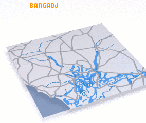
Disclaimer :: Information on this page comes without warranty of any kind |
||
|
Where is Bangadj? Elevation and coordinates ::
Latitude (lat): 14°50'0"N Longitude (lon): 16°49'0"W
Elevation (approx.): 34m (map arrows pan, magnifying glasses zoom) |
||
|
Visiting Bangadj? Hotel/Accommodation ::
Book a hotel in Bangadj Travel Guide ::
Buy a travel guide for Senegal rental cars ::
car rental offers GPS waypoint ::
download a GPX waypoint (PoI) of Bangadj for your GPS receiver
|
||