|
search place name
|
||
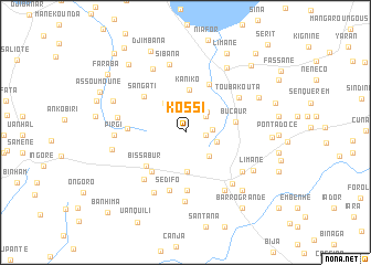
Kossi (Kolda, Senegal)Kossi is a town in the Kolda region of Senegal. An overview map of the region around Kossi is displayed below.
regional and 3d topo map of Kossi, Senegal ::
Kossi airports ::
The nearest airport is BXO - Bissau Oswaldo Vieira Intl, located 59.8 km south of Kossi.
Other airports nearby include ZIG - Ziguinchor (68.0 km west), CSK - Cap Skiring (117.2 km west), BJL - Banjul Intl (146.2 km north west), KLC - Kaolack (193.8 km north), Nearby towns ::
Sanou (2.0km east) //
Adjing (2.5km north) //
Banima (2.6km north east) //
Sano (2.6km east) //
Dianafou (2.9km north east) //
Saiamcôtoto (3.3km east) //
Saiamcutoto (3.4km south east) //
Diabakounda (3.6km north west) //
Sinchã Mamadu (3.9km south) //
Kaniko (4.3km north) //
Bucaur (5.0km east) //
Bissabur (5.1km south west) //
Suranse (5.2km south west) //
Satioum (5.4km north east) //
Sangati (5.4km north west) //
Marsasse (5.8km south) //
Sambacunda (5.8km south) //
Tiamlé (5.7km west) //
Sedifo (6.0km south) //
Canjinha (6.3km south west) //
Toubakouta (6.4km north east) //
Fangor (6.9km south west) //
Barro (6.9km south east) //
Injafo (6.9km south east) //
Barrozinho (7.0km south east) //
Ponta Lagoa (7.0km south east) //
Piaque (7.0km south east) //
Mansacunda (7.0km south) //
Boutogoul (6.9km west) //
[all distances 'as the bird flies' and approximate] 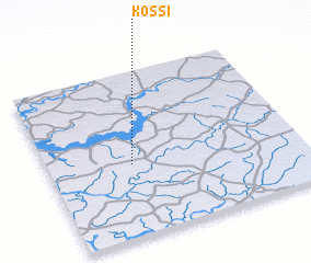 Places with similar names to Kossi, Senegal ::
Disclaimer :: Information on this page comes without warranty of any kind |
||
|
Where is Kossi? Elevation and coordinates ::
Latitude (lat): 12°26'8"N Longitude (lon): 15°40'7"W
Elevation (approx.): 42m (map arrows pan, magnifying glasses zoom) |
||
|
Visiting Kossi? Hotel/Accommodation ::
Book a hotel in Kossi Travel Guide ::
Buy a travel guide for Senegal rental cars ::
car rental offers GPS waypoint ::
download a GPX waypoint (PoI) of Kossi for your GPS receiver
|
||