|
search place name
|
||
Sawbā aţ Ţayyib (Al Kharţūm, Sudan)Sawbā aţ Ţayyib is a town in the Al Kharţūm region of Sudan. An overview map of the region around Sawbā aţ Ţayyib is displayed below.
regional and 3d topo map of Sawbā aţ Ţayyib, Sudan ::

Sawbā aţ Ţayyib airports ::
The nearest airport is KRT - Khartoum, located 16.1 km north west of Sawbā aţ Ţayyib.
Nearby towns ::
Sawbā Sharq (3.7km south) //
Sawbā Gharb (4.2km west) //
Umm Dawm (5.7km west) //
Ḩujayrāt (7.1km west) //
Al ‘Aylafūn (10.0km south east) //
Jurayf Sharq (11.2km north west) //
[all distances 'as the bird flies' and approximate] 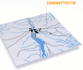
Disclaimer :: Information on this page comes without warranty of any kind |
||
|
Where is Sawbā aţ Ţayyib? Elevation and coordinates ::
Latitude (lat): 15°31'0"N Longitude (lon): 32°41'0"E
Elevation (approx.): 386m (map arrows pan, magnifying glasses zoom) |
||
|
Visiting Sawbā aţ Ţayyib? Hotel/Accommodation ::
Book a hotel in Sawbā aţ Ţayyib Travel Guide ::
Buy a travel guide for Sudan rental cars ::
car rental offers GPS waypoint ::
download a GPX waypoint (PoI) of Sawbā aţ Ţayyib for your GPS receiver
|
||