|
search place name
|
||
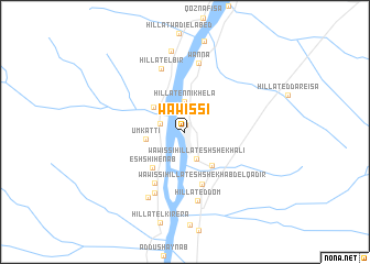
Wawissi (Al Kharţūm, Sudan)Wawissi is a town in the Al Kharţūm region of Sudan. An overview map of the region around Wawissi is displayed below.
regional and 3d topo map of Wawissi, Sudan ::
Wawissi airports ::
The nearest airport is KRT - Khartoum, located 56.1 km south of Wawissi.
Nearby towns ::
Hillat Wad Ramli (0.7km north) //
Al Hakamab West (2.5km west) //
Wawissi Hillat esh Shekh ʼAli (2.9km south east) //
Hillat en Nikhela (3.1km north) //
Hillat el Wadi el Labyad (3.9km north west) //
Um Katti (3.9km west) //
Wawissi Hillat el Wadi (4.3km south east) //
Esh Shihenab (4.8km south west) //
Wawissi Hillat esh Shekh Abd el Qadir (5.5km south) //
Hillat Wad Mahamod (6.0km south west) //
Hillat el Bir (6.8km north) //
Hillat Awlad Hamad (6.8km south west) //
Hillat ed Dom (7.1km south) //
Wanna (7.1km north) //
Hillat es Sanaher (7.6km south west) //
Hillat Wad Abu Reda (8.4km north) //
[all distances 'as the bird flies' and approximate] 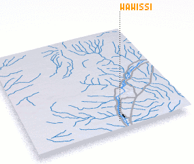 Places with similar names to Wawissi, Sudan ::
Disclaimer :: Information on this page comes without warranty of any kind |
||
|
Where is Wawissi? Elevation and coordinates ::
Latitude (lat): 16°5'48"N Longitude (lon): 32°34'9"E
Elevation (approx.): 378m (map arrows pan, magnifying glasses zoom) |
||
|
Visiting Wawissi? Hotel/Accommodation ::
Book a hotel in Wawissi Travel Guide ::
Buy a travel guide for Sudan rental cars ::
car rental offers GPS waypoint ::
download a GPX waypoint (PoI) of Wawissi for your GPS receiver
|
||