|
search place name
|
||
Shalubala (Central, Zambia)Shalubala is a town in the Central region of Zambia. An overview map of the region around Shalubala is displayed below.
regional and 3d topo map of Shalubala, Zambia ::

Shalubala airports ::
The nearest airport is LUN - Lusaka Intl, located 88.9 km east of Shalubala.
Other airports nearby include KAB - Kariba Intl (166.5 km south east), Nearby towns ::
Shikutende (1.9km south) //
Mukopekope (1.9km south) //
Mafuta (2.6km north west) //
Muyona (4.1km north west) //
Kankwa (4.1km south west) //
Chikala (7.4km south) //
Maches (7.4km east) //
Mapulanga (8.2km north west) //
[all distances 'as the bird flies' and approximate] 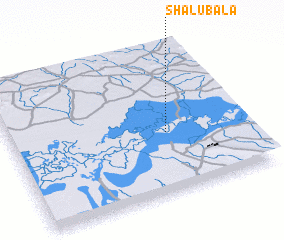 Places with similar names to Shalubala, Zambia ::
// Chalablū (IR)
// Tialbol (SN)
// Chilubula (ZM)
// Shilibelo (ZM)
// Sialubilo (ZM)
// Choli Bāla (PK)
// Ch'ilbul-li (KP)
Disclaimer :: Information on this page comes without warranty of any kind |
||
|
Where is Shalubala? Elevation and coordinates ::
Latitude (lat): 15°35'0"S Longitude (lon): 27°40'0"E
Elevation (approx.): 977m (map arrows pan, magnifying glasses zoom) |
||
|
Visiting Shalubala? Hotel/Accommodation ::
Book a hotel in Shalubala Travel Guide ::
Buy a travel guide for Zambia rental cars ::
car rental offers GPS waypoint ::
download a GPX waypoint (PoI) of Shalubala for your GPS receiver
|
||