|
search place name
|
||
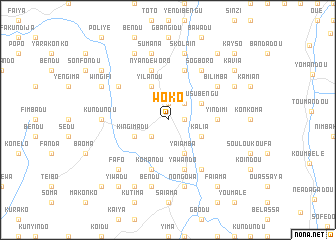
Woko (Eastern, Sierra Leone)Woko is a town in the Eastern region of Sierra Leone. An overview map of the region around Woko is displayed below.
regional and 3d topo map of Woko, Sierra Leone ::
Woko airports ::
The nearest airport is FAA - Faranah, located 126.7 km north of Woko.
Nearby towns ::
Kabengu (1.8km east) //
Sengisengi (1.9km north) //
Gbongonko (2.6km south west) //
Kurumbaia (2.6km north east) //
Yilandu (4.1km north west) //
Kingimadu (4.1km south west) //
Yaiamba (4.1km south east) //
Wusubengu (4.1km north east) //
Kalia (4.1km south east) //
Yindimi (5.5km east) //
Nyandeworo (5.9km north) //
Komandu (5.9km south) //
Boni (5.9km north) //
Yawando (5.9km south) //
Bilimba (6.6km north east) //
Baiama (6.6km north west) //
Sogboro (6.7km north east) //
Wundidu (6.7km south east) //
Masakundu (6.7km south east) //
Kundundu (7.3km west) //
Sumana (7.6km north) //
Bendu (7.6km south) //
Skola-In (7.6km north) //
Nongowa (7.6km south) //
Fafo (7.8km south west) //
Wingifi (8.2km north west) //
Follian (8.2km north east) //
Kekeya (8.3km north west) //
Kenema (8.3km south west) //
[all distances 'as the bird flies' and approximate] 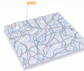 Places with similar names to Woko, Sierra Leone ::
Disclaimer :: Information on this page comes without warranty of any kind |
||
|
Where is Woko? Elevation and coordinates ::
Latitude (lat): 8°54'0"N Longitude (lon): 10°37'0"W
Elevation (approx.): 574m (map arrows pan, magnifying glasses zoom) |
||
|
Visiting Woko? Hotel/Accommodation ::
Book a hotel in Woko Travel Guide ::
rental cars ::
car rental offers GPS waypoint ::
download a GPX waypoint (PoI) of Woko for your GPS receiver
|
||