|
search place name
|
||
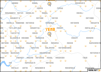
Yema (Southern, Sierra Leone)Yema is a town in the Southern region of Sierra Leone. An overview map of the region around Yema is displayed below.
regional and 3d topo map of Yema, Sierra Leone ::
Yema airports ::
The nearest airport is FNA - Freetown Lungi, located 51.1 km north west of Yema.
Nearby towns ::
Gbasati (0.0km north) //
Matongu (2.4km south east) //
Konta (2.6km south west) //
Walsas (2.6km north west) //
Makoba (2.6km north east) //
Makali (2.6km north east) //
Yandihun (3.7km north) //
Rokon (4.1km south west) //
Masanka (4.1km south west) //
Masanki (4.1km south east) //
Masebali (4.1km north west) //
Rosint (4.1km north east) //
Moniambe (5.2km south west) //
Malanko (5.2km north west) //
Mafemgbe (5.2km north east) //
Makoi (5.5km west) //
Molamina (5.6km south) //
Masantigi (5.8km west) //
Kigbal (5.8km west) //
Makambori (5.8km east) //
Mayom (5.9km north) //
Matebe (6.7km north west) //
Makabi (6.6km south east) //
Foya (6.7km south east) //
Jabama (7.3km west) //
Masampa (7.4km north) //
Makarambe (7.6km south) //
Pebul (7.6km north) //
Kantine (7.8km south west) //
[all distances 'as the bird flies' and approximate] 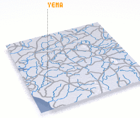 Places with similar names to Yema, Sierra Leone ::
Disclaimer :: Information on this page comes without warranty of any kind |
||
|
Where is Yema? Elevation and coordinates ::
Latitude (lat): 8°21'0"N Longitude (lon): 12°49'0"W
Elevation (approx.): 8m (map arrows pan, magnifying glasses zoom) |
||
|
Visiting Yema? Hotel/Accommodation ::
Book a hotel in Yema Travel Guide ::
rental cars ::
car rental offers GPS waypoint ::
download a GPX waypoint (PoI) of Yema for your GPS receiver
|
||