|
search place name
|
||
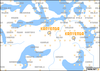
Kanyenda (Malawi)Kanyenda is a town in Malawi. An overview map of the region around Kanyenda is displayed below.
regional and 3d topo map of Kanyenda, Malawi ::
Kanyenda airports ::
The nearest airport is LLW - Lilongwe Kamuzu Intl, located 58.0 km east of Kanyenda.
Other airports nearby include MFU - Mfuwe (151.0 km west), BLZ - Blantyre Chileka Intl (285.7 km south east), Nearby towns ::
Kazira (0.0km north) //
Johani (1.9km north) //
Sundwe (1.8km west) //
Kolopele (2.6km south east) //
Mphanga (2.6km south east) //
Mtunga (2.6km north east) //
Khumi (3.7km south) //
Katenthe (3.6km east) //
Makumbe (3.6km east) //
Beni (3.7km north) //
Wuledi (4.0km south east) //
Kuwanje (4.1km south west) //
Chunga (4.0km north east) //
Chapita (4.1km north west) //
Kakuda (5.6km north) //
Veliasi (5.7km east) //
Khongoni (5.7km east) //
Tonde (5.7km east) //
Ciphwanya (5.7km east) //
Andama (5.8km north) //
Chakalira (5.8km north) //
Chiwanga (5.8km north) //
Kandama (5.8km north) //
Sitambo (6.6km north east) //
Kalinde (7.2km west) //
Manjirira (7.2km east) //
Mkantoma (7.2km west) //
Kachirikisa (7.4km east) //
Kanjesa (7.4km east) //
[all distances 'as the bird flies' and approximate] 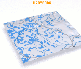 Places with similar names to Kanyenda, Malawi ::
// Canyon Day (US)
// Kounyentoou (BJ)
// Kanyèndé (BF)
// Kanyanda (UG)
// Kanyanda (ZM)
// Kanyanda (ZM)
// Kanyonda (ZM)
// Kunyanda (ZM)
// Guanyintai (CN)
// Qianyantou (CN)
Disclaimer :: Information on this page comes without warranty of any kind |
||
|
Where is Kanyenda? Elevation and coordinates ::
Latitude (lat): 13°43'0"S Longitude (lon): 33°15'0"E
Elevation (approx.): 1064m (map arrows pan, magnifying glasses zoom) |
||
|
Visiting Kanyenda? Hotel/Accommodation ::
Book a hotel in Kanyenda Travel Guide ::
Buy a travel guide for Malawi rental cars ::
car rental offers GPS waypoint ::
download a GPX waypoint (PoI) of Kanyenda for your GPS receiver
|
||