|
search place name
|
||
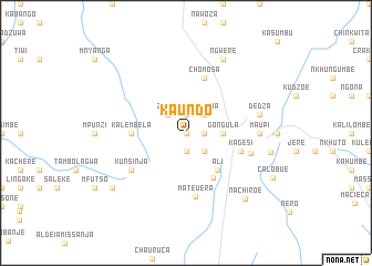
Kaundo (Malawi)Kaundo is a town in Malawi. An overview map of the region around Kaundo is displayed below.
regional and 3d topo map of Kaundo, Malawi ::
Kaundo airports ::
The nearest airport is LLW - Lilongwe Kamuzu Intl, located 84.1 km north west of Kaundo.
Other airports nearby include BLZ - Blantyre Chileka Intl (162.3 km south east), VXC - Lichinga (163.5 km north east), TET - Tete Chingodzi (202.0 km south), Nearby towns ::
Kuntelela (0.0km north) //
Njuchi (1.8km east) //
Kachindamoto (1.9km north) //
Mulangari (1.9km south) //
Zakaria (2.6km north east) //
Dauyo (2.6km north east) //
Checufikeni (2.6km south east) //
Sukasuka (2.6km south east) //
Zunze (2.6km north west) //
Gongula (3.6km east) //
Ali (4.8km south east) //
Jacob (5.2km south east) //
Kalembela (5.4km west) //
Chomosa (5.8km north) //
Kagesi (5.7km east) //
Mateuera (6.5km south) //
Kunsinja (6.5km south west) //
Aldeia Calumue de Baixa (6.7km east) //
Maupi (7.2km east) //
Dedza (7.4km east) //
Ngwere (8.2km north east) //
Aldeia Braganço (8.5km east) //
Nachiroe (8.8km south east) //
Kunsinja (9.1km south west) //
Calóbue (9.6km south east) //
[all distances 'as the bird flies' and approximate] 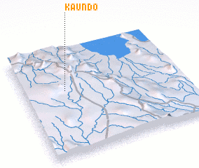 Places with similar names to Kaundo, Malawi ::
Disclaimer :: Information on this page comes without warranty of any kind |
||
|
Where is Kaundo? Elevation and coordinates ::
Latitude (lat): 14°23'0"S Longitude (lon): 34°16'0"E
Elevation (approx.): 1490m (map arrows pan, magnifying glasses zoom) |
||
|
Visiting Kaundo? Hotel/Accommodation ::
Book a hotel in Kaundo Travel Guide ::
Buy a travel guide for Malawi rental cars ::
car rental offers GPS waypoint ::
download a GPX waypoint (PoI) of Kaundo for your GPS receiver
|
||