|
search place name
|
||
Gondodougou (Cote d'Ivoire)Gondodougou is a town in Cote d'Ivoire. An overview map of the region around Gondodougou is displayed below.
regional and 3d topo map of Gondodougou, Cote d'Ivoire ::

Gondodougou airports ::
The nearest airport is MJC - Man, located 141.0 km south of Gondodougou.
Other airports nearby include DJO - Daloa (252.8 km south east), Nearby towns ::
Masédougou (3.7km east) //
Misadougou (4.1km north west) //
Zodofouma (5.2km south west) //
Fouana (6.7km south east) //
Faradougou (7.6km east) //
Siragouala (7.6km north) //
Lasébadougou (8.2km south east) //
Gwala (8.3km south east) //
Vahodougou (9.2km north west) //
[all distances 'as the bird flies' and approximate] 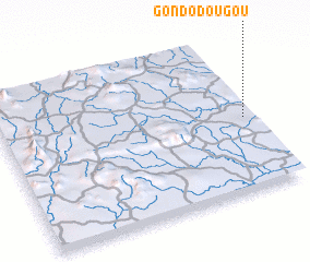 Places with similar names to Gondodougou, Cote d'Ivoire ::
// Candatag (PH)
// Cantatoc (PH)
// Cañada de Agua (CU)
// Gantodoga (BF)
// Ganda Tiga (PK)
// Gondodougou (GN)
// Koinétédiouaga (TG)
// Cañada de Agua (DO)
// Gouèndiédougou (CI)
// Kounadidougou (CI)
Disclaimer :: Information on this page comes without warranty of any kind |
||
|
Where is Gondodougou? Elevation and coordinates ::
Latitude (lat): 8°28'0"N Longitude (lon): 8°2'0"W
Elevation (approx.): 524m (map arrows pan, magnifying glasses zoom) |
||
|
Visiting Gondodougou? Hotel/Accommodation ::
Book a hotel in Gondodougou Travel Guide ::
rental cars ::
car rental offers GPS waypoint ::
download a GPX waypoint (PoI) of Gondodougou for your GPS receiver
|
||