|
search place name
|
||
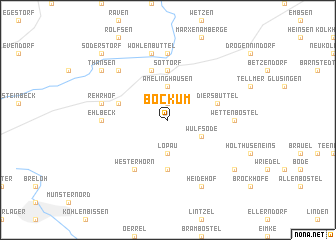
Bockum (Niedersachsen, Germany)Bockum is a town in the Niedersachsen region of Germany. An overview map of the region around Bockum is displayed below.
regional and 3d topo map of Bockum, Germany ::
Bockum airports ::
The nearest airport is ZCN - Celle, located 56.3 km south of Bockum.
Other airports nearby include XFW - Hamburg Finkenwerder (56.4 km north west), HAM - Hamburg (62.8 km north), HAJ - Hannover (78.0 km south west), LBC - Luebeck Lubeck Blankensee (87.0 km north), Nearby towns ::
Rehlingen (1.9km north) //
Lopau (3.7km south) //
Amelinghausen (3.7km north) //
Wulfsode (2.9km south east) //
Sottorf (5.6km north) //
Lopesettel (5.6km south) //
Etzen (5.7km north) //
Osterehlbeck (3.8km north west) //
Diersbüttel (3.8km north east) //
Westerhorn (6.0km south) //
Wettenbostel (4.5km east) //
Oldendorf (7.4km north) //
Ehlbeck (4.5km west) //
Wohlenbüttel (7.5km north) //
Rehrhof (4.8km north west) //
Dehnsen (6.5km north west) //
Heidehof (7.7km south) //
Schatensen (7.1km south east) //
Thansen (7.1km north west) //
Soderstorf (8.6km north west) //
[all distances 'as the bird flies' and approximate] 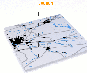 Places with similar names to Bockum, Germany ::
// Bougma (MA)
// Bou Goummou (MA)
// Bou Goummou (MA)
// Bagam (CM)
// Bagma (CM)
// Baïgom (CM)
// Bakambé (CM)
// Bakem (CM)
// Bakem (CM)
// Bakumba (CM)
Disclaimer :: Information on this page comes without warranty of any kind |
||
|
Where is Bockum? Elevation and coordinates ::
Latitude (lat): 53°5'0"N Longitude (lon): 10°13'0"E
Elevation (approx.): 109m (map arrows pan, magnifying glasses zoom) |
||
|
Visiting Bockum? Hotel/Accommodation ::
Book a hotel in Bockum Travel Guide ::
Buy a travel guide for Germany rental cars ::
car rental offers GPS waypoint ::
download a GPX waypoint (PoI) of Bockum for your GPS receiver
|
||