|
search place name
|
||
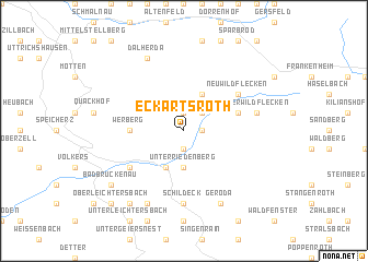
Eckartsroth (Bayern, Germany)Eckartsroth is a town in the Bayern region of Germany. An overview map of the region around Eckartsroth is displayed below.
regional and 3d topo map of Eckartsroth, Germany ::
Eckartsroth airports ::
The nearest airport is ZNF - Hanau Aaf, located 67.6 km west of Eckartsroth.
Other airports nearby include GHF - Giebelstadt Aaf (78.4 km south), FRA - Frankfurt Main (101.1 km west), ERF - Erfurt (104.2 km north east), KSF - Kassel Calden (122.7 km north), Nearby towns ::
Oberbach (1.2km east) //
Silberhof (1.9km north) //
Oberriedenberg (1.9km south) //
Auershof (2.2km north east) //
Unterriedenberg (3.7km south) //
Reußendorf (3.9km north) //
Riedenberg (3.9km south) //
Werberg (3.5km west) //
Wildflecken (4.0km north east) //
Neuwildflecken (5.1km north east) //
Römershag (5.1km south west) //
Schildeck (7.4km south) //
Oberwildflecken (5.1km east) //
Geroda (7.8km south) //
Dalherda (7.8km north) //
Mitgenfeld (7.8km south) //
Breitenbach (8.2km south west) //
Bad Brückenau (7.3km south west) //
Buchrasen (8.8km south west) //
Oberleichtersbach (8.8km south west) //
[all distances 'as the bird flies' and approximate] 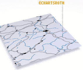 Places with similar names to Eckartsroth, Germany ::
// Eckartsroith (AT)
// Eckartsreuth (DE)
Disclaimer :: Information on this page comes without warranty of any kind |
||
|
Where is Eckartsroth? Elevation and coordinates ::
Latitude (lat): 50°21'0"N Longitude (lon): 9°52'0"E
Elevation (approx.): 481m (map arrows pan, magnifying glasses zoom) |
||
|
Visiting Eckartsroth? Hotel/Accommodation ::
Book a hotel in Eckartsroth Travel Guide ::
Buy a travel guide for Germany rental cars ::
car rental offers GPS waypoint ::
download a GPX waypoint (PoI) of Eckartsroth for your GPS receiver
|
||